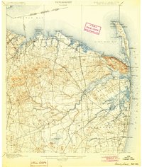
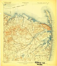
1901 Map of Sandy Hook
USGS Topo · Published 1904About this map
Fort Hancock and the Sandy Hook Light anchor the northern tip of the peninsula, marking a critical military and maritime entrance to the region at the turn of the century. The map reveals a dense network of coastal defenses and navigation aids, including the Waackaack Beacon and multiple Life-Saving Stations along the Atlantic shore. Inland, the landscape of Monmouth County is defined by the Highlands of Navesink and a series of prominent elevations like Beacon Hill and Crawford Hill, which provided strategic overlooks and landmarks for early coastal travelers.
Find a feature on this map
140 named features on this map. Tap any name to fly to it.
Don’t see what you’re looking for? This feature index may not catch every label — zoom into the map to look around manually.
Map Details
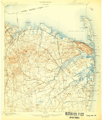
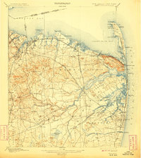
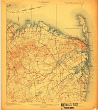
Editions of this 1901 Sandy Hook Map
6 editions found

Other maps of this area

1888 · Plainfield
USGS Topo · 1:62,500

1888 · New Brunswick
USGS Topo · 1:62,500

1888 · Asbury Park
USGS Topo · 1:62,500

1888 · Cassville
USGS Topo · 1:62,500

1888 · Sandy Hook
USGS Topo · 1:62,500

1889 · Brooklyn
USGS Topo · 1:62,500

1891 · Brooklyn
USGS Topo · 1:62,500

1893 · New Brunswick
USGS Topo · 1:62,500

1893 · Plainfield
USGS Topo · 1:62,500

1893 · Sandy Hook
USGS Topo · 1:62,500