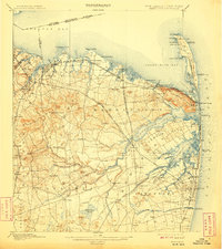
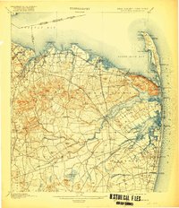
1901 Map of Sandy Hook
USGS Topo · Published 1908About this map
Fort Hancock and the Sandy Hook Light anchor the northern tip of this coastal survey, where the U.S. Government Railroad connects maritime defenses to the mainland. The shoreline is a dense network of early 20th-century resort culture and industrial infrastructure, from the Sandy Hook Pier down to the established streets of Long Branch City. Further inland, the landscape transitions from the steep Highlands of Navesink to the fertile drainage basins of the Swimming River and Yellow Brook.
Find a feature on this map
143 named features on this map. Tap any name to fly to it.
Don’t see what you’re looking for? This feature index may not catch every label — zoom into the map to look around manually.
Map Details
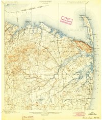
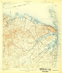
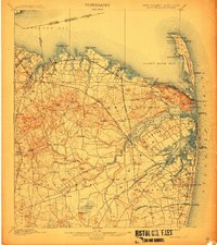
Editions of this 1901 Sandy Hook Map
6 editions found

Other maps of this area

1888 · Plainfield
USGS Topo · 1:62,500

1888 · New Brunswick
USGS Topo · 1:62,500

1888 · Asbury Park
USGS Topo · 1:62,500

1888 · Cassville
USGS Topo · 1:62,500

1888 · Sandy Hook
USGS Topo · 1:62,500

1889 · Brooklyn
USGS Topo · 1:62,500

1891 · Brooklyn
USGS Topo · 1:62,500

1893 · New Brunswick
USGS Topo · 1:62,500

1893 · Plainfield
USGS Topo · 1:62,500

1893 · Sandy Hook
USGS Topo · 1:62,500