
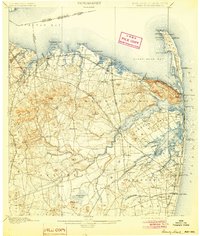
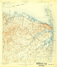
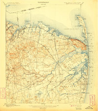
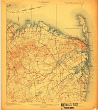
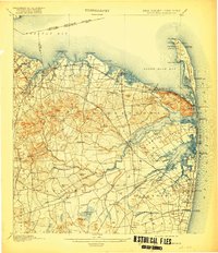
1901 Map of Sandy Hook
USGS Topo · Published 1901About this map
Fort Hancock and the Sandy Hook Light dominate the northern peninsula of this coastal survey, where military and maritime safety infrastructure guarded the entrance to the Raritan Bay. The landscape is defined by the intricate waterways of the Navesink River and Shrewsbury River, which carve out Rumson Neck and provide the backdrop for established communities like Highlands and Seabright. The interior reveals a dense network of early New Jersey rail lines, including the New York and Long Branch Railroad and the Seashore Branch, which connected the agricultural lands of Middletown and Holmdel to the burgeoning shore resorts.
Find a feature on this map
149 named features on this map. Tap any name to fly to it.
Don’t see what you’re looking for? This feature index may not catch every label — zoom into the map to look around manually.
Map Details
Editions of this 1901 Sandy Hook Map
6 editions found
Other maps of this area

1888 · Plainfield
USGS Topo · 1:62,500

1888 · New Brunswick
USGS Topo · 1:62,500

1888 · Asbury Park
USGS Topo · 1:62,500

1888 · Cassville
USGS Topo · 1:62,500

1888 · Sandy Hook
USGS Topo · 1:62,500

1889 · Brooklyn
USGS Topo · 1:62,500

1891 · Brooklyn
USGS Topo · 1:62,500

1893 · New Brunswick
USGS Topo · 1:62,500

1893 · Plainfield
USGS Topo · 1:62,500

1893 · Sandy Hook
USGS Topo · 1:62,500