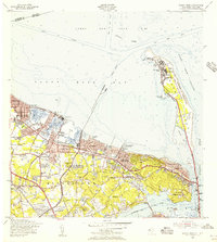
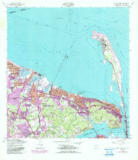
1954 Map of Sandy Hook
USGS Topo · Published 1956About this map
Fort Hancock and the iconic Sandy Hook Lighthouse anchor the narrow peninsula of Sandy Hook during the mid-1950s, a period when this coastal landscape was heavily defined by its military significance. The interior is dominated by the U S Naval Reservation (Earle Ammunition Depot) and a U S Air Force Reservation, highlighting the area's strategic role in maritime and aerial defense. Along the southern shore, established communities like Atlantic Highlands and Highlands overlook the Navesink River, where the Oceanic Bridge provides a vital link to Rumson.
Find a feature on this map
81 named features on this map. Tap any name to fly to it.
Don’t see what you’re looking for? This feature index may not catch every label — zoom into the map to look around manually.
Map Details
Editions of this 1954 Sandy Hook Map
6 editions found
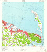
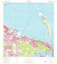
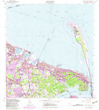
Other maps of this area

1888 · Sandy Hook
USGS Topo · 1:62,500

1889 · Brooklyn
USGS Topo · 1:62,500

1891 · Brooklyn
USGS Topo · 1:62,500

1893 · Sandy Hook
USGS Topo · 1:62,500

1897 · Brooklyn
USGS Topo · 1:62,500

1898 · Staten Island
USGS Topo · 1:62,500

1898 · Brooklyn
USGS Topo · 1:62,500

1900 · Passaic
USGS Topo · 1:125,000

1900 · Staten Island
USGS Topo · 1:62,500

1900 · Brooklyn
USGS Topo · 1:62,500