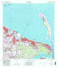
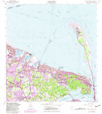
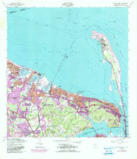
1954 Map of Sandy Hook
USGS Topo · Published 1990About this map
Fort Hancock and the Sandy Hook Lighthouse anchor the northern tip of the narrow peninsula, marking a critical strategic point at the entrance to the Lower Bay. The landscape is defined by its deep maritime and military heritage, featuring multiple defense installations including the U S Naval Reservation (Earle Ammunition Depot) and the US Army Reservation Highlands Army Air Defense. Along the southern coastline of the Sandy Hook Bay, established communities such as Leonardo, Belford, and Keansburg show dense residential development, while the interior hills of Middletown and Navesink maintain a different character with landmarks like Mount Mitchill and High Point Chapel. The intricate network of tidal waters, including Spermaceti Cove and Horseshoe Cove, illustrates the dynamic nature of this coastal environment before the later expansions of the Gateway National Recreation Area.
Find a feature on this map
63 named features on this map. Tap any name to fly to it.
Don’t see what you’re looking for? This feature index may not catch every label — zoom into the map to look around manually.
Map Details
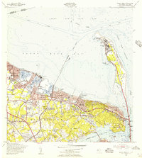
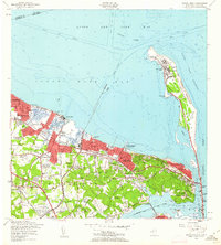
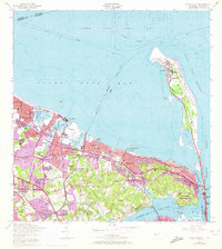
Editions of this 1954 Sandy Hook Map
6 editions found
Other maps of this area

1888 · Sandy Hook
USGS Topo · 1:62,500

1889 · Brooklyn
USGS Topo · 1:62,500

1891 · Brooklyn
USGS Topo · 1:62,500

1893 · Sandy Hook
USGS Topo · 1:62,500

1897 · Brooklyn
USGS Topo · 1:62,500

1898 · Staten Island
USGS Topo · 1:62,500

1898 · Brooklyn
USGS Topo · 1:62,500

1900 · Passaic
USGS Topo · 1:125,000

1900 · Staten Island
USGS Topo · 1:62,500

1900 · Brooklyn
USGS Topo · 1:62,500