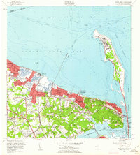
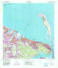
1954 Map of Sandy Hook
USGS Topo · Published 1962About this map
Fort Hancock and the U S Military Reservation dominate the narrow peninsula of Sandy Hook, a strategic coastal landscape defined by maritime navigation and defense. The historic Sandy Hook Lighthouse and Sandy Hook Lifeboat Sta anchor the tip of the spit, while the U S Naval Reservation (Earle Ammunition Depot) extends into the heart of Middletown. This mid-century coastal survey illustrates the development of shore communities from Keansburg to Highlands, connected by the New Jersey and Long Branch RR. Inland, the terrain rises toward Navesink, where the Navesink Lighthouse overlooks the Navesink River. The map reveals a mixture of residential growth and established institutions, including St Marys Sch, Croydon Hall Sch, and the Beacon Hill Country Club, highlighting the evolution of Monmouth County's shoreline and its naval importance during the Cold War era.
Find a feature on this map
80 named features on this map. Tap any name to fly to it.
Don’t see what you’re looking for? This feature index may not catch every label — zoom into the map to look around manually.
Map Details
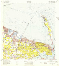
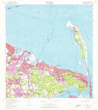
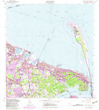
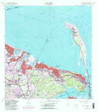
Editions of this 1954 Sandy Hook Map
6 editions found
Other maps of this area

1888 · Sandy Hook
USGS Topo · 1:62,500

1889 · Brooklyn
USGS Topo · 1:62,500

1891 · Brooklyn
USGS Topo · 1:62,500

1893 · Sandy Hook
USGS Topo · 1:62,500

1897 · Brooklyn
USGS Topo · 1:62,500

1898 · Staten Island
USGS Topo · 1:62,500

1898 · Brooklyn
USGS Topo · 1:62,500

1900 · Passaic
USGS Topo · 1:125,000

1900 · Staten Island
USGS Topo · 1:62,500

1900 · Brooklyn
USGS Topo · 1:62,500