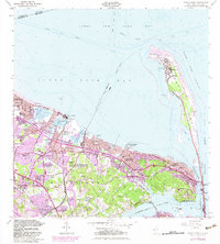
1954 Map of Sandy Hook
USGS Topo · Published 1982About this map
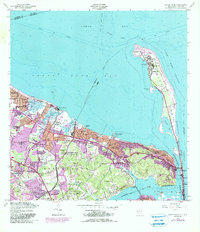
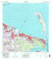
Fort Hancock and the Sandy Hook Lighthouse anchor the northern tip of the narrow Sandy Hook peninsula, a landscape defined by maritime navigation and military defense. This coastal stretch along the Lower New York Bay reveals a complex network of navigation channels like the Sandy Hook Channel and the Raritan Bay Channel. Inland, the map documents the post-war suburban expansion of Middletown and Keansburg, with purple-tinted revisions highlighting the growth of residential blocks near New Monmouth and Leonardo.
Find a feature on this map
70 named features on this map. Tap any name to fly to it.
Don’t see what you’re looking for? This feature index may not catch every label — zoom into the map to look around manually.
Map Details
Editions of this 1954 Sandy Hook Map
6 editions found
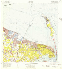
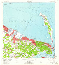
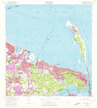
Other maps of this area

1888 · Sandy Hook
USGS Topo · 1:62,500

1889 · Brooklyn
USGS Topo · 1:62,500

1891 · Brooklyn
USGS Topo · 1:62,500

1893 · Sandy Hook
USGS Topo · 1:62,500

1897 · Brooklyn
USGS Topo · 1:62,500

1898 · Staten Island
USGS Topo · 1:62,500

1898 · Brooklyn
USGS Topo · 1:62,500

1900 · Passaic
USGS Topo · 1:125,000

1900 · Staten Island
USGS Topo · 1:62,500

1900 · Brooklyn
USGS Topo · 1:62,500