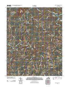
2011 Map of Sandy Level
USGS Topo · Published 2011About this map
Pigg River winds through this rural Virginia landscape, carving out a distinctive meander known as The Fryingpan. Small communities and agricultural crossroads like Ajax, Sandy Level, and Museville are connected by a network of local routes such as Old Mountain Rd and Museville Rd. The presence of Andersons Mill and Burnt Chimney suggests a history of local industry and domestic life along the watercourses of Tomahawk Creek and Greasy Creek. Genealogy researchers may find interest in the Carter Cemetery, while topographic features like Greer Knob and Pine Mountain anchor the northern and central terrain. Several river crossings are identified by name, including the Canada Bridge, Stanhope Hurt Bridge, and Kirby Ford Bridge, marking traditional points of transit across the valley.
Find a feature on this map
54 named features on this map. Tap any name to fly to it.
Don’t see what you’re looking for? This feature index may not catch every label — zoom into the map to look around manually.
Map Details
Editions of this 2011 Sandy Level Map
This is the sole edition of this map. No revisions or reprints were ever made.
Other maps of this area

1890 · Roanoke
USGS Topo · 1:125,000

1891 · Roanoke
USGS Topo · 1:125,000

1892 · Lynchburg
USGS Topo · 1:125,000

1921 · Chatham
USGS Topo · 1:48,000

1922 · Callands
USGS Topo · 1:48,000

1923 · Chatham
USGS Topo · 1:62,500

1924 · Callands
USGS Topo · 1:62,500

1944 · Callands
USGS Topo · 1:62,500

1947 · Roanoke
USGS Topo · 1:250,000

1951 · Moneta
USGS Topo · 1:62,500