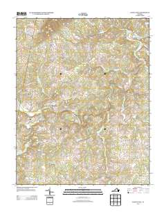
2013 Map of Sandy Level
USGS Topo · Published 2013About this map
The Pigg River winds through the heart of this Pittsylvania County landscape, defining the local geography through its numerous crossings and adjacent settlements. Long-standing transportation routes are anchored by historical river-crossing points like Canada Bridge, Kirby Ford Bridge, and the Stanhope Hurt Bridge, which connect rural communities such as Ajax, Museville, and Sandy Level. These settlements are situated among prominent local elevations including Greer Knob to the north and Pine Mountain to the south.
Find a feature on this map
90 named features on this map. Tap any name to fly to it.
Don’t see what you’re looking for? This feature index may not catch every label — zoom into the map to look around manually.
Map Details
Editions of this 2013 Sandy Level Map
This is the sole edition of this map. No revisions or reprints were ever made.
Other maps of this area

1890 · Roanoke
USGS Topo · 1:125,000

1891 · Roanoke
USGS Topo · 1:125,000

1892 · Lynchburg
USGS Topo · 1:125,000

1921 · Chatham
USGS Topo · 1:48,000

1922 · Callands
USGS Topo · 1:48,000

1923 · Chatham
USGS Topo · 1:62,500

1924 · Callands
USGS Topo · 1:62,500

1944 · Callands
USGS Topo · 1:62,500

1947 · Roanoke
USGS Topo · 1:250,000

1951 · Moneta
USGS Topo · 1:62,500