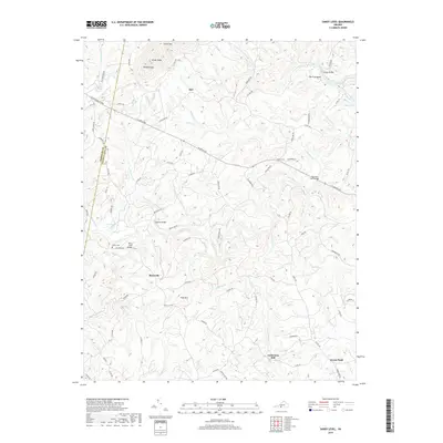
2019 Map of Sandy Level
USGS Topo · Published 2019About this map
Pigg River winds through the heart of this landscape along the Franklin and Pittsylvania county line, serving as a primary drainage for numerous smaller creeks. The rural character of the region is defined by scattered settlements such as Museville and Sandy Level, connected by a network of local roads and historic crossings like the Stanhope Hurt Bridge and Canada Bridge. To the north, the terrain rises toward the heights of Smith Mtn and Greer Knob, where Reddies Gap provides a natural passage through the ridgeline.
Find a feature on this map
85 named features on this map. Tap any name to fly to it.
Don’t see what you’re looking for? This feature index may not catch every label — zoom into the map to look around manually.
Map Details
Editions of this 2019 Sandy Level Map
This is the sole edition of this map. No revisions or reprints were ever made.
Other maps of this area

1890 · Roanoke
USGS Topo · 1:125,000

1891 · Roanoke
USGS Topo · 1:125,000

1892 · Lynchburg
USGS Topo · 1:125,000
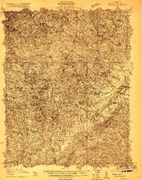
1921 · Chatham
USGS Topo · 1:48,000
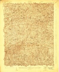
1922 · Callands
USGS Topo · 1:48,000
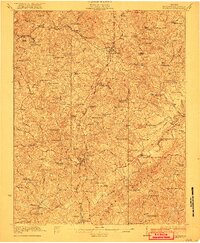
1923 · Chatham
USGS Topo · 1:62,500
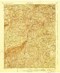
1924 · Callands
USGS Topo · 1:62,500
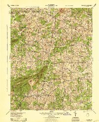
1944 · Callands
USGS Topo · 1:62,500

1947 · Roanoke
USGS Topo · 1:250,000
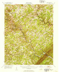
1951 · Moneta
USGS Topo · 1:62,500