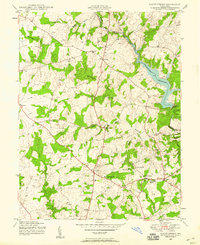
1945 Map of Sandy Spring
USGS Topo · Published 1959About this map
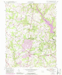
Triadelphia Reservoir dominates the northeastern landscape of this mid-century survey, fed by the Patuxent River and Cattail Creek. The map documents a rural Maryland transitioning into a more structured suburban network, centered around established communities like Sandy Spring and Olney. In the south, institutions such as the Montgomery County General Hospital and Sherwood High Sch mark the area's growing social infrastructure. A series of smaller settlements, including Brookeville, Ashton, and Sunshine, are connected by a winding road network that follows the ridgelines between the Hawlings River and North Branch Rock Creek. For those tracing local genealogy or land use, the map provides precise locations for landmarks like Camp Bennett and several Cem sites tucked away in the wooded drainages.
Find a feature on this map
27 named features on this map. Tap any name to fly to it.
Don’t see what you’re looking for? This feature index may not catch every label — zoom into the map to look around manually.
Map Details
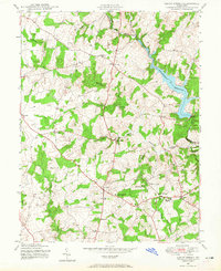
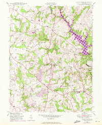
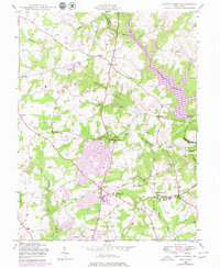
Editions of this 1945 Sandy Spring Map
5 editions found
Other maps of this area

1892 · Laurel
USGS Topo · 1:62,500

1892 · Ellicott
USGS Topo · 1:62,500

1893 · Frederick
USGS Topo · 1:125,000

1894 · Ellicott
USGS Topo · 1:62,500

1894 · Laurel
USGS Topo · 1:62,500

1894 · Frederick
USGS Topo · 1:125,000

1897 · Laurel
USGS Topo · 1:62,500

1906 · Ellicott
USGS Topo · 1:62,500

1907 · Laurel
USGS Topo · 1:62,500

1908 · Patapsco
USGS Topo · 1:125,000