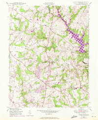
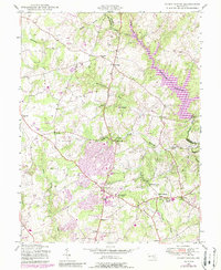
1945 Map of Sandy Spring
USGS Topo · Published 1972About this map
The Patuxent River and the newly formed Triadelphia Reservoir anchor this 1945 survey of eastern Montgomery County, which includes revisions through 1971. The map illustrates a transitional period for rural crossroads like Olney and Sandy Spring, where traditional agricultural patterns begin to meet late 20th-century residential growth. Significant institutional landmarks are visible, such as the Montgomery County General Hospital and Sherwood High Sch, alongside small rural schools like Slade Sch. The terrain is deeply carved by water, with the Hawlings River and Northwest Branch creating a network of ridges and valleys that historically dictated settlement locations. From the quiet hamlet of Brookeville to the recreational Golf Course and Camp Bennett, the map documents the community's evolution before extensive suburbanization fully transformed the landscape.
Find a feature on this map
28 named features on this map. Tap any name to fly to it.
Don’t see what you’re looking for? This feature index may not catch every label — zoom into the map to look around manually.
Map Details
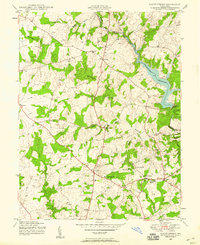
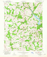
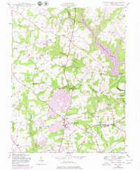
Editions of this 1945 Sandy Spring Map
5 editions found
Other maps of this area

1892 · Laurel
USGS Topo · 1:62,500

1892 · Ellicott
USGS Topo · 1:62,500

1893 · Frederick
USGS Topo · 1:125,000

1894 · Ellicott
USGS Topo · 1:62,500

1894 · Laurel
USGS Topo · 1:62,500

1894 · Frederick
USGS Topo · 1:125,000

1897 · Laurel
USGS Topo · 1:62,500

1906 · Ellicott
USGS Topo · 1:62,500

1907 · Laurel
USGS Topo · 1:62,500

1908 · Patapsco
USGS Topo · 1:125,000