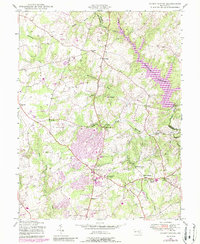
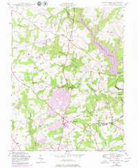
1945 Map of Sandy Spring
USGS Topo · Published 1988About this map
Olney and the surrounding Maryland countryside reflect a period of significant suburban evolution in this mid-century record, updated with late-1970s land use data. The expansion of residential patterns is visible near Brookeville and Sandy Spring, where traditional rural clusters began meeting modern infrastructure. Educational and community institutions anchor the landscape, including Sherwood High Sch, Sandy Spring Sch, and the Montgomery County General Hospital.
Find a feature on this map
34 named features on this map. Tap any name to fly to it.
Don’t see what you’re looking for? This feature index may not catch every label — zoom into the map to look around manually.
Map Details
Editions of this 1945 Sandy Spring Map
5 editions found
Other maps of this area

1892 · Laurel
USGS Topo · 1:62,500

1892 · Ellicott
USGS Topo · 1:62,500

1893 · Frederick
USGS Topo · 1:125,000

1894 · Ellicott
USGS Topo · 1:62,500

1894 · Laurel
USGS Topo · 1:62,500

1894 · Frederick
USGS Topo · 1:125,000

1897 · Laurel
USGS Topo · 1:62,500

1906 · Ellicott
USGS Topo · 1:62,500

1907 · Laurel
USGS Topo · 1:62,500

1908 · Patapsco
USGS Topo · 1:125,000