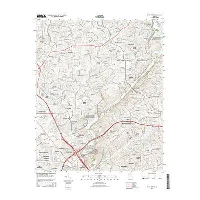
2014 Map of Sandy Springs
USGS Topo · Published 2014About this map
The Chattahoochee River carves a deep boundary between Cobb and Fulton Counties, anchoring the Chattahoochee River National Recreation Area. This landscape is defined by the transition from suburban development to the protected river corridor, featuring prominent water bodies like Willow Point Lake and the dangerous waters of Devils Race Course Shoals. Genealogists will find a high density of family and community burial sites, including Antioch Cem, Sardis Cem, and Heards Cem, which pepper the residential enclaves of Indian Hills and Sibley Forest. The map documents a mature suburban infrastructure in Sandy Springs and Smyrna, connected by vital spans such as the Johnson Ferry Bridge. Local history is preserved in the names of landmarks like Blackjack Mtn and various shoals that once dictated the river's navigation and industrial utility.
Find a feature on this map
104 named features on this map. Tap any name to fly to it.
Don’t see what you’re looking for? This feature index may not catch every label — zoom into the map to look around manually.
Map Details
Editions of this 2014 Sandy Springs Map
This is the sole edition of this map. No revisions or reprints were ever made.
Other maps of this area

1888 · Atlanta
USGS Topo · 1:125,000

1890 · Suwanee
USGS Topo · 1:125,000

1890 · Cartersville
USGS Topo · 1:125,000

1890 · Atlanta
USGS Topo · 1:125,000

1891 · Marietta
USGS Topo · 1:125,000

1891 · Cartersville
USGS Topo · 1:125,000

1892 · Atlanta
USGS Topo · 1:125,000

1894 · Suwanee
USGS Topo · 1:125,000

1895 · Atlanta
USGS Topo · 1:125,000

1895 · Marietta
USGS Topo · 1:125,000