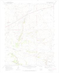
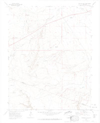
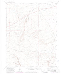
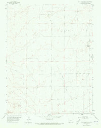
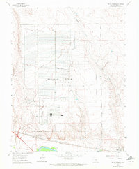
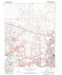
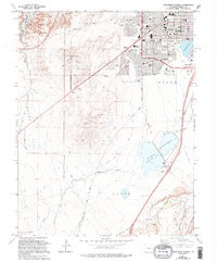
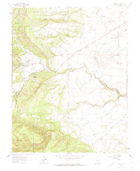
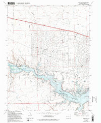
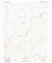
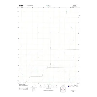
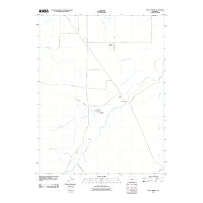
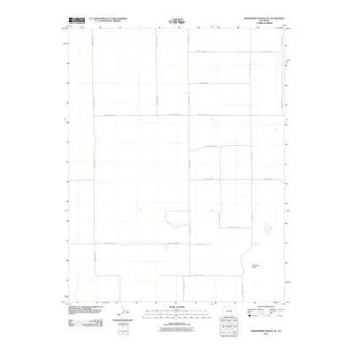
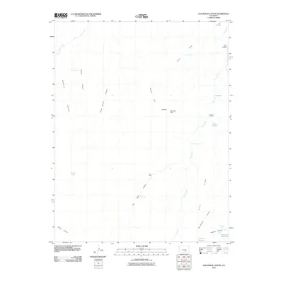
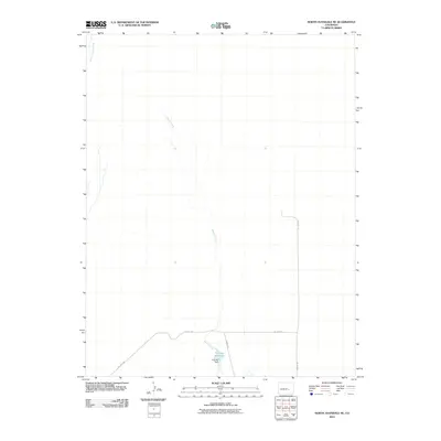
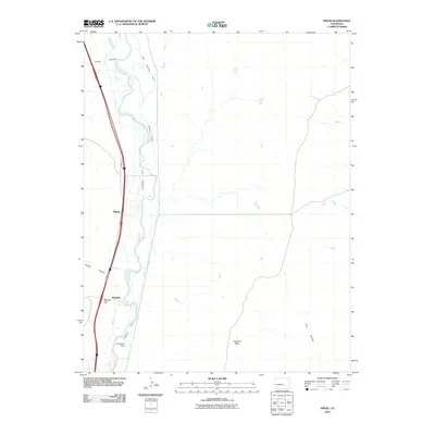
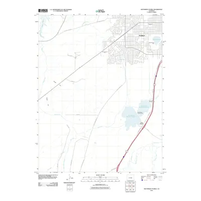
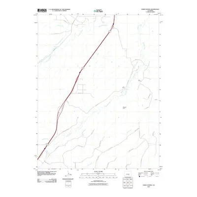
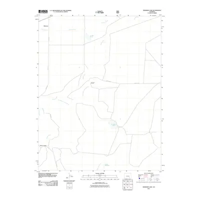
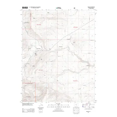
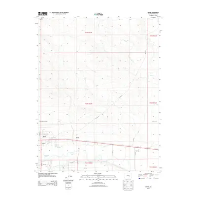
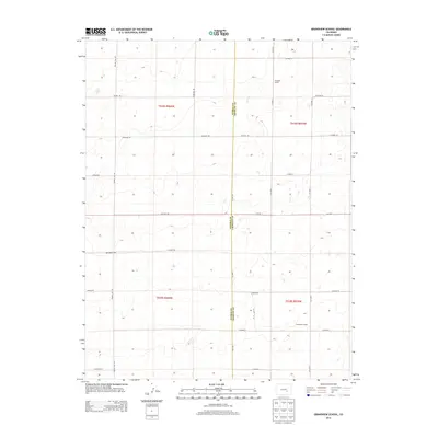
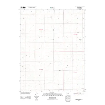
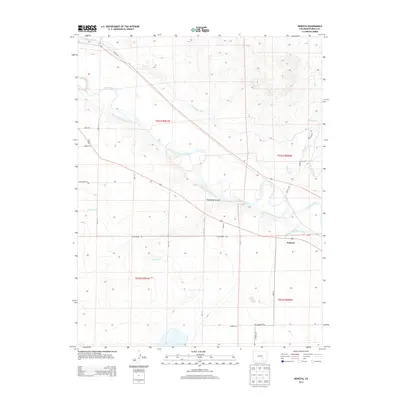
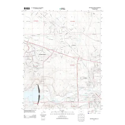
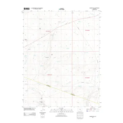
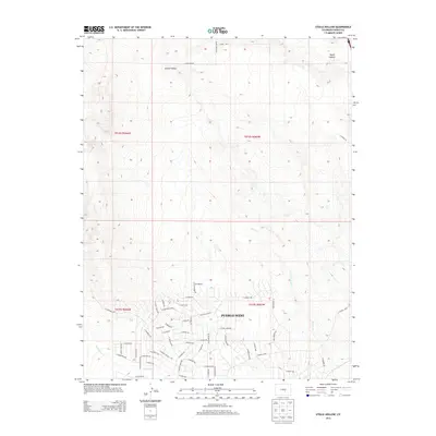
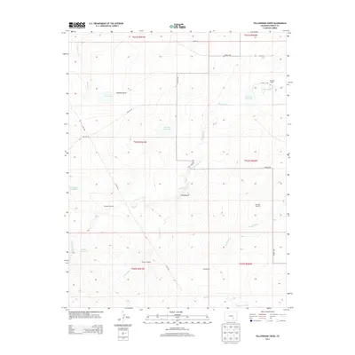
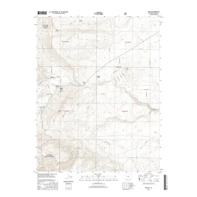
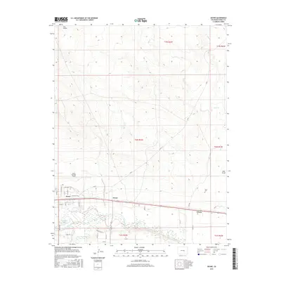
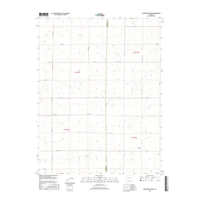
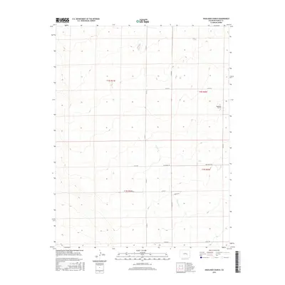
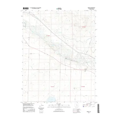
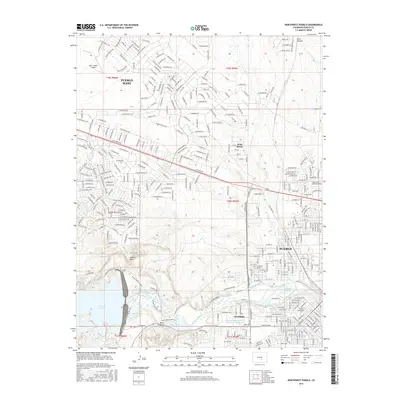
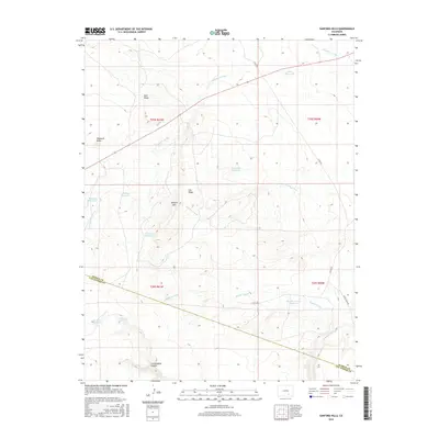
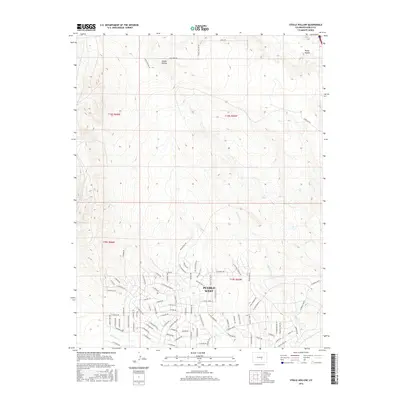
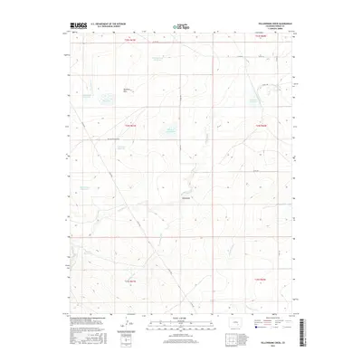
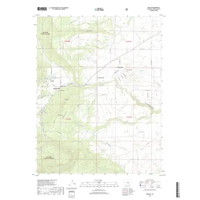
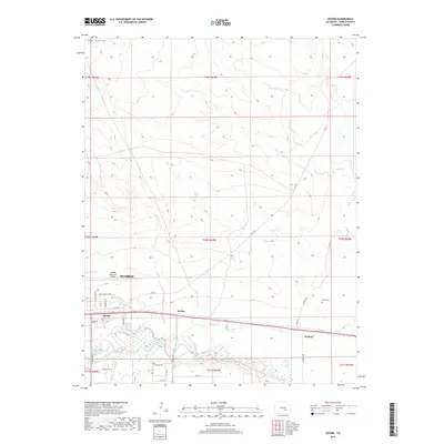
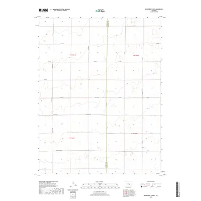
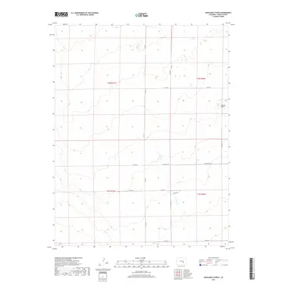
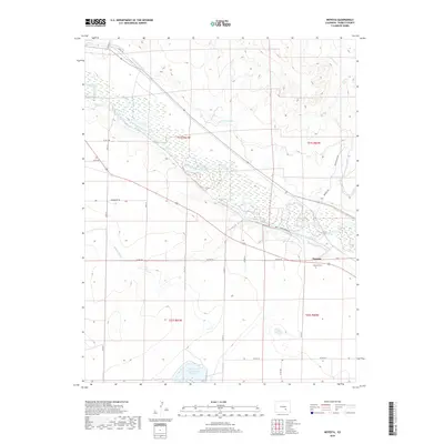
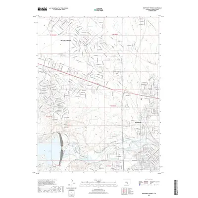
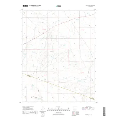
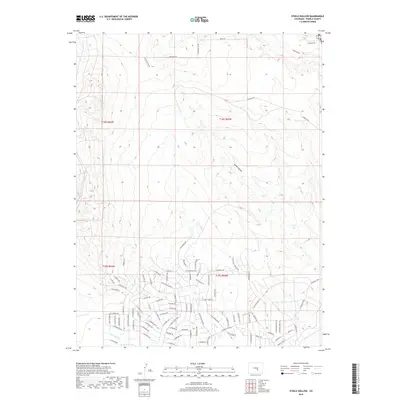
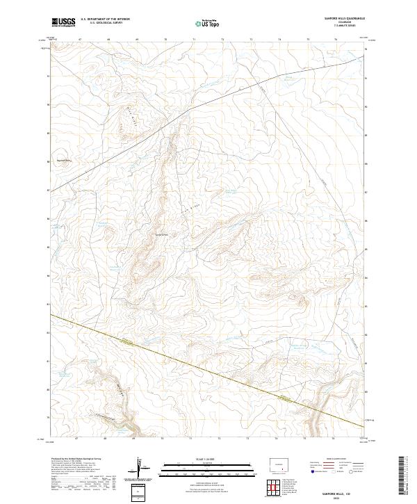
1970 Map of Sanford Hills
USGS Topo · Published 1974About this map
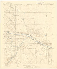
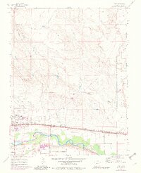
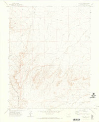
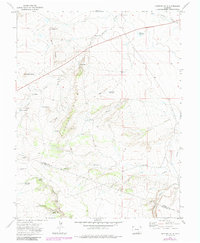
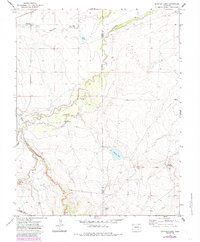
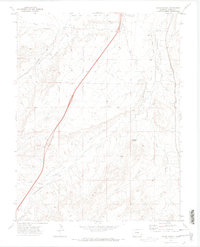
The Sanford Hills of southern Colorado dominate this 1970s landscape, straddling the boundary between Pueblo Co and Las Animas Co. This is a terrain defined by its water management and ranching operations, where named outposts like Black Ranch, Jacobs Ranch, and Lou Nelson Ranch sit among a complex network of seasonal drainages. Significant erosion patterns are evident in the winding courses of Saunders Arroyo, Twomile Arroyo, and Buffalo Arroyo, which cut through the high ground of Blue Ridge and Iron Ridge.
Find a feature on this map
30 named features on this map. Tap any name to fly to it.
Don’t see what you’re looking for? This feature index may not catch every label — zoom into the map to look around manually.
Map Details
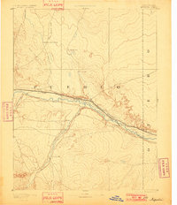
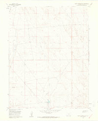
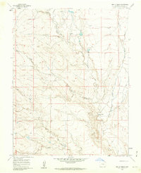
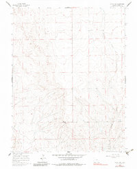
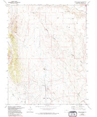
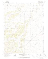
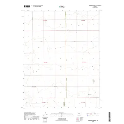
Editions of this 1970 Sanford Hills Map
4 editions found
Historical Maps of Pueblo County Through Time
224 maps found

1891 Nepesta
Pueblo County, CO
1893 Nepesta
Pueblo County, CO
1904 Nepesta
Pueblo County, CO
1958 Hardesty Reservoir
Pueblo County, CO
1959 Flying A Ranch
Pueblo County, CO
1959 Grandview School
Pueblo County, CO
1959 Highlands Church
Pueblo County, CO
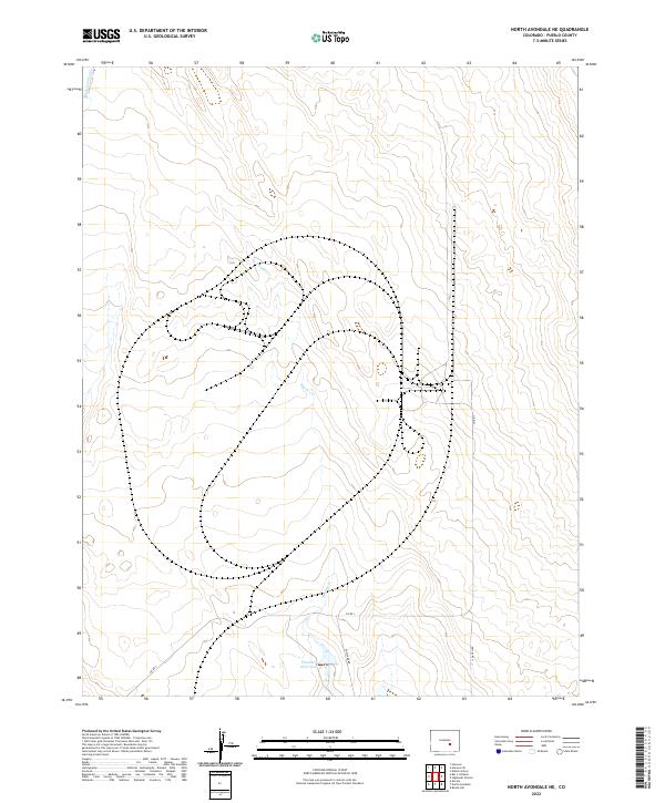
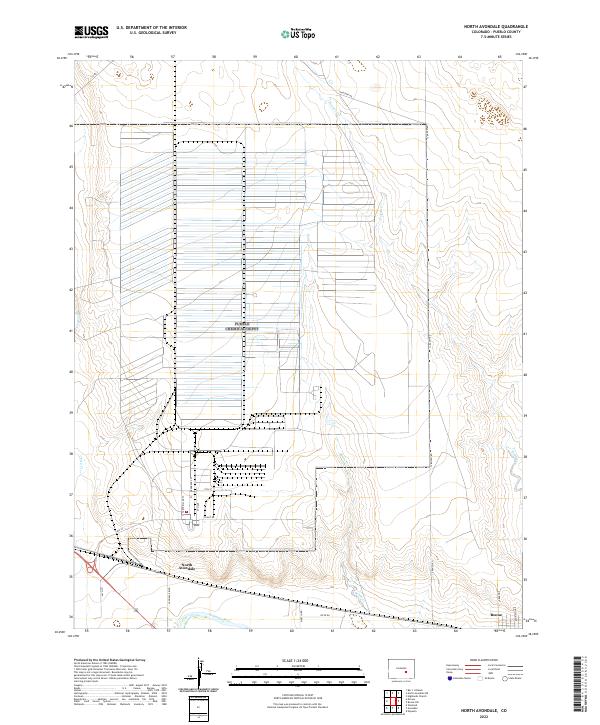
1959 North Avondale NE
Pueblo County, CO
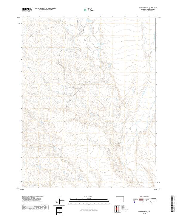
1960 Bar J H Ranch
Pueblo County, CO
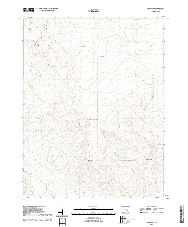
1960 Boone Hill
Pueblo County, CO
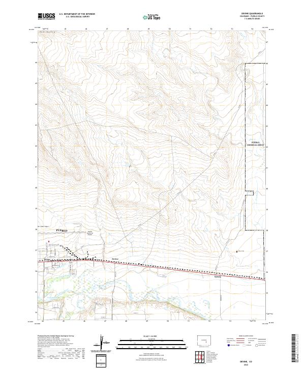
1960 Devine
Pueblo County, CO
1960 Grandview School SE
Pueblo County, CO
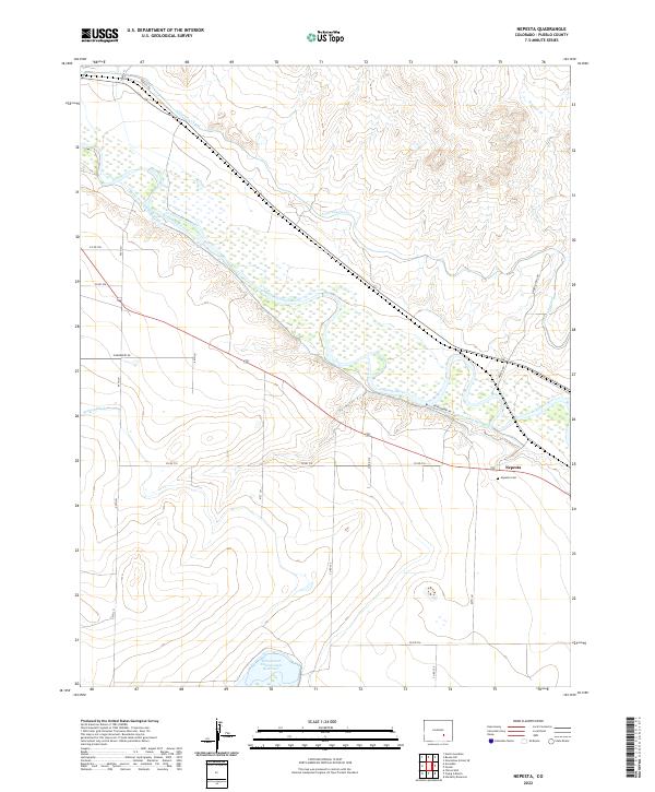
1960 Nepesta
Pueblo County, CO
1960 North Avondale NE
Pueblo County, CO
1960 North Avondale
Pueblo County, CO
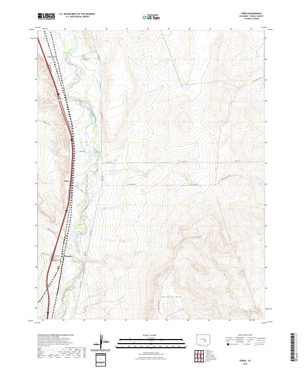
1960 Pinon
Pueblo County, CO
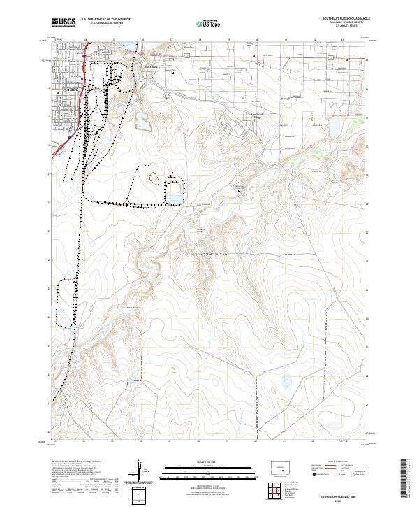
1960 Southeast Pueblo
Pueblo County, CO
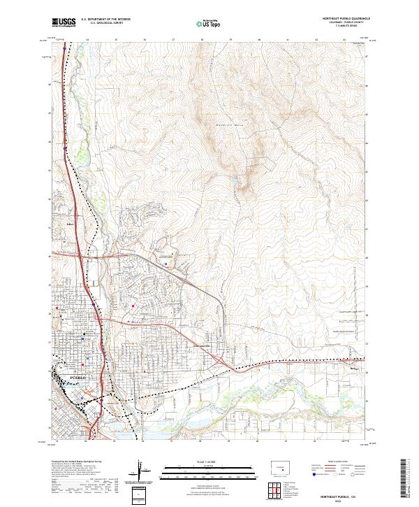
1961 Northeast Pueblo
Pueblo County, CO
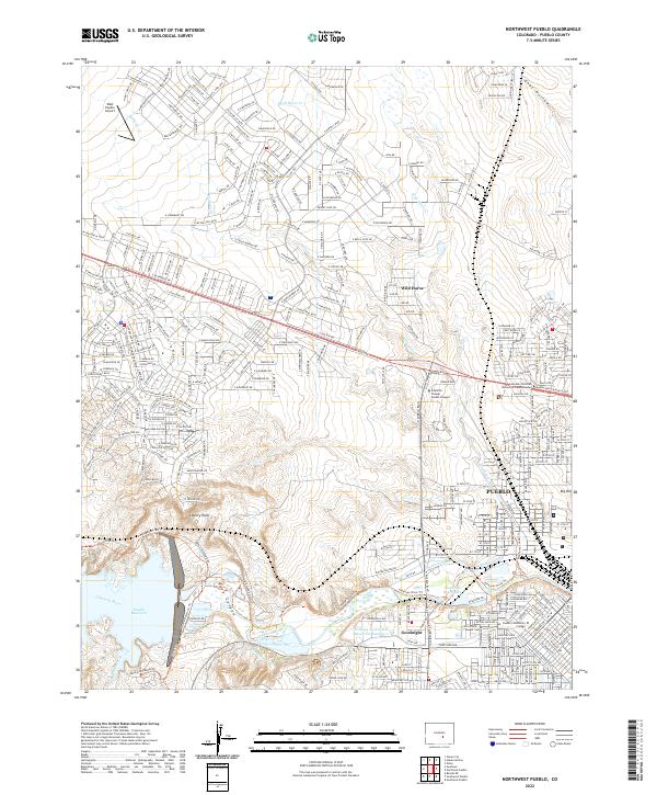
1961 Northwest Pueblo
Pueblo County, CO
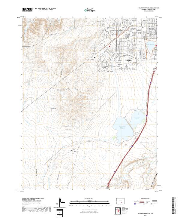
1961 Southwest Pueblo
Pueblo County, CO
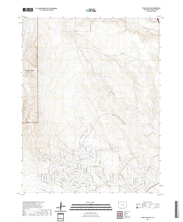
1961 Steele Hollow
Pueblo County, CO
1963 Beulah NE
Pueblo County, CO
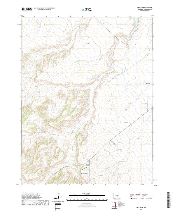
1963 Beulah
Pueblo County, CO
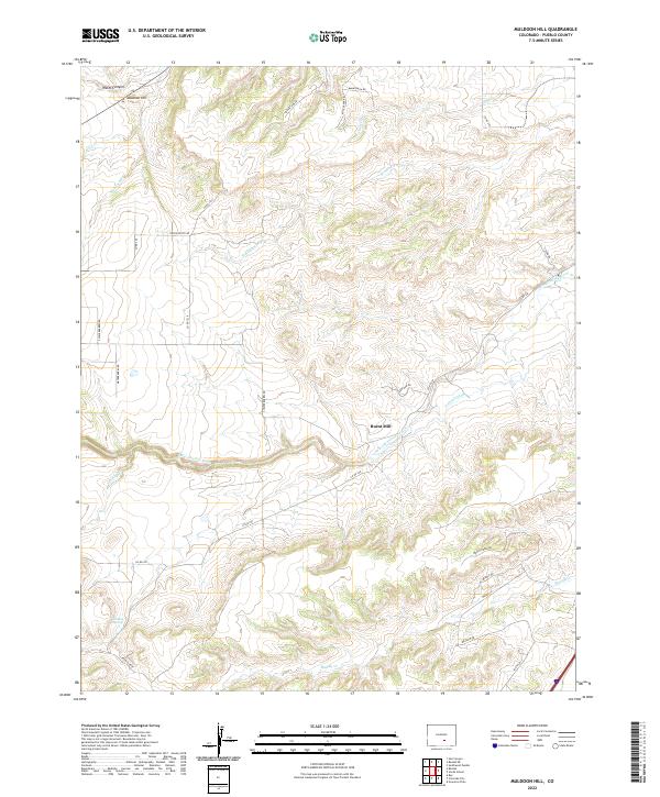
1963 Muldoon Hill
Pueblo County, CO
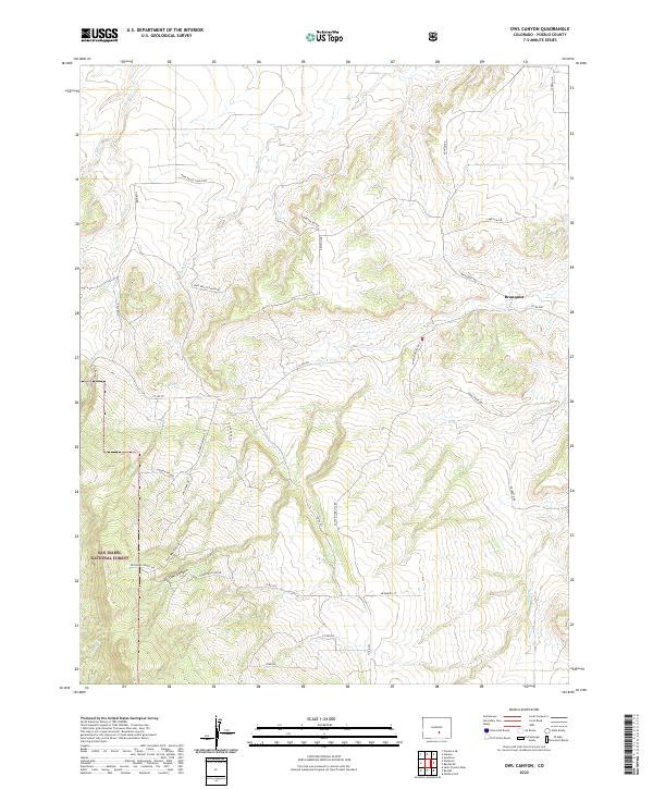
1963 Owl Canyon
Pueblo County, CO
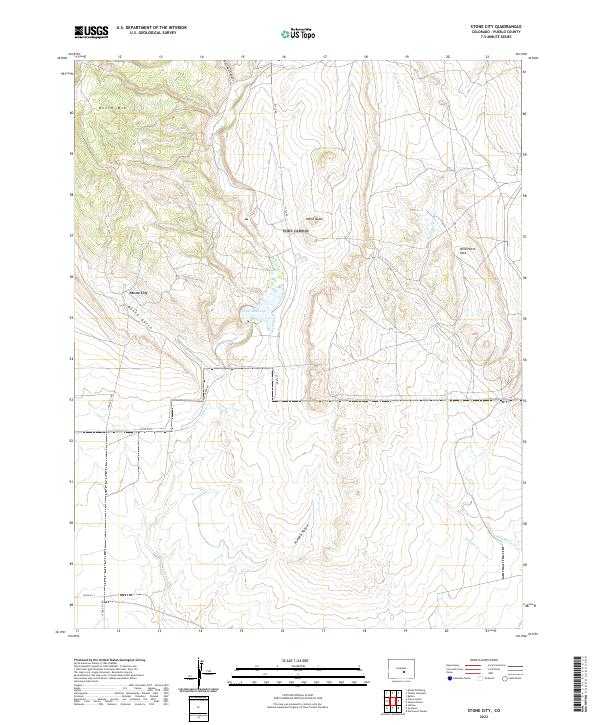
1963 Stone City
Pueblo County, CO
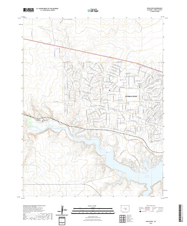
1963 Swallows
Pueblo County, CO
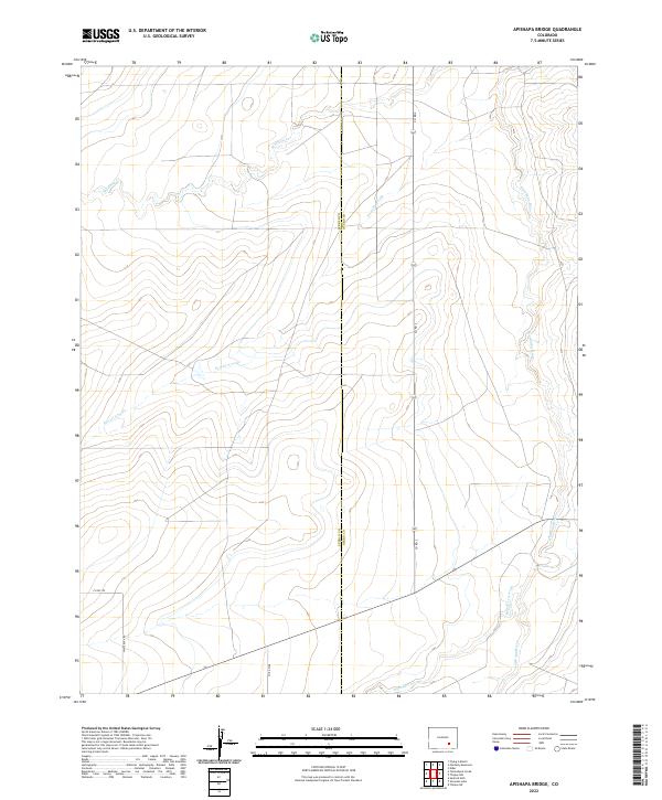
1970 Apishapa Bridge
Pueblo County, CO

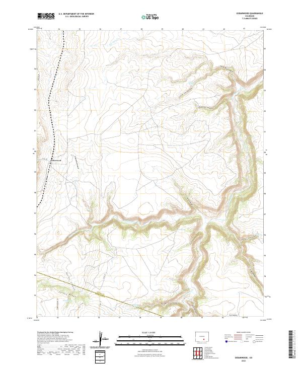
1970 Cedarwood
Pueblo County, CO
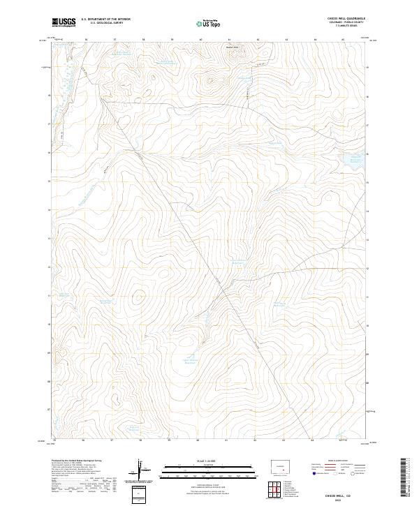
1970 Chicos Well
Pueblo County, CO
1970 Doyle Bridge
Pueblo County, CO
1970 Goat Butte
Pueblo County, CO

1970 Graneros Flats
Pueblo County, CO

1970 Hog Ranch Canyon
Pueblo County, CO

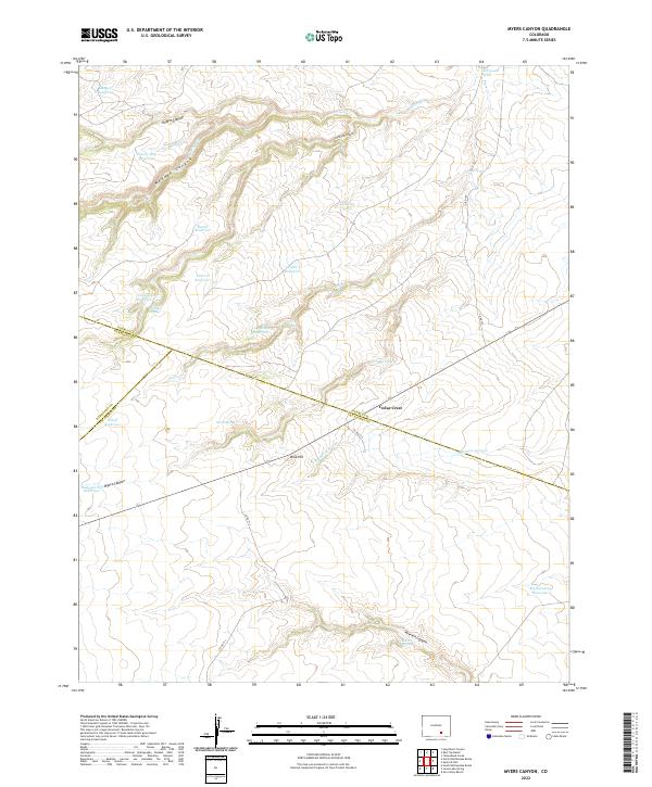
1970 Myers Canyon
Pueblo County, CO

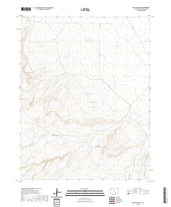
1970 Red Top Ranch
Pueblo County, CO
1970 Sanford Hills
Pueblo County, CO
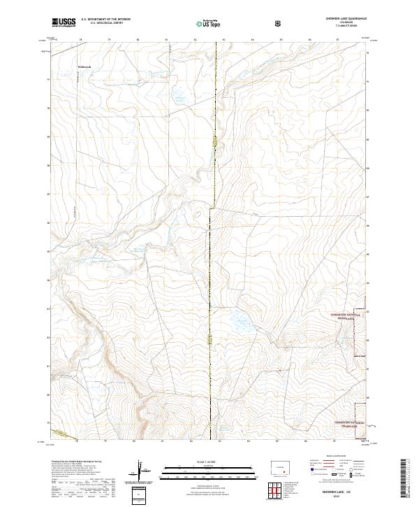
1970 Snowden Lake
Pueblo County, CO
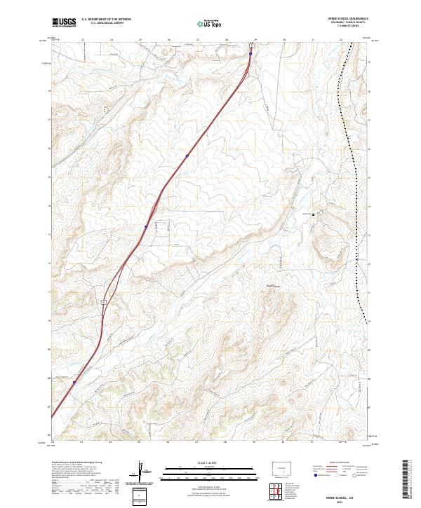
1970 Verde School
Pueblo County, CO
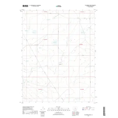
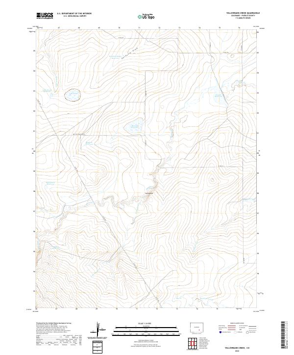
1970 Yellowbank Creek
Pueblo County, CO

1994 Beulah
Pueblo County, CO

1994 Owl Canyon
Pueblo County, CO

1996 Snowden Lake
Pueblo County, CO

1998 Southwest Pueblo
Pueblo County, CO
2010 Apishapa Bridge
Pueblo County, CO
2010 Bar J H Ranch
Pueblo County, CO
2010 Beulah NE
Pueblo County, CO
2010 Boone Hill
Pueblo County, CO
2010 Cedarwood
Pueblo County, CO
2010 Chicos Well
Pueblo County, CO
2010 Devine
Pueblo County, CO
2010 Doyle Bridge
Pueblo County, CO
2010 Flying A Ranch
Pueblo County, CO
2010 Goat Butte
Pueblo County, CO
2010 Grandview School
Pueblo County, CO
2010 Grandview School SE
Pueblo County, CO
2010 Graneros Flats
Pueblo County, CO
2010 Hardesty Reservoir
Pueblo County, CO
2010 Highlands Church
Pueblo County, CO
2010 Hog Ranch Canyon
Pueblo County, CO
2010 Muldoon Hill
Pueblo County, CO
2010 Myers Canyon
Pueblo County, CO
2010 Nepesta
Pueblo County, CO
2010 North Avondale NE
Pueblo County, CO
2010 North Avondale
Pueblo County, CO
2010 Northeast Pueblo
Pueblo County, CO
2010 Northwest Pueblo
Pueblo County, CO
2010 Pinon
Pueblo County, CO
2010 Red Top Ranch
Pueblo County, CO
2010 Sanford Hills
Pueblo County, CO
2010 Southeast Pueblo
Pueblo County, CO
2010 Southwest Pueblo
Pueblo County, CO
2010 Steele Hollow
Pueblo County, CO
2010 Stone City
Pueblo County, CO
2010 Swallows
Pueblo County, CO
2010 Verde School
Pueblo County, CO
2010 Yellowbank Creek
Pueblo County, CO
2011 Beulah
Pueblo County, CO
2011 Owl Canyon
Pueblo County, CO
2011 Snowden Lake
Pueblo County, CO
2013 Apishapa Bridge
Pueblo County, CO
2013 Bar J H Ranch
Pueblo County, CO
2013 Beulah NE
Pueblo County, CO
2013 Beulah
Pueblo County, CO
2013 Boone Hill
Pueblo County, CO
2013 Cedarwood
Pueblo County, CO
2013 Chicos Well
Pueblo County, CO
2013 Devine
Pueblo County, CO
2013 Doyle Bridge
Pueblo County, CO
2013 Flying A Ranch
Pueblo County, CO
2013 Goat Butte
Pueblo County, CO
2013 Grandview School
Pueblo County, CO
2013 Grandview School SE
Pueblo County, CO
2013 Graneros Flats
Pueblo County, CO
2013 Hardesty Reservoir
Pueblo County, CO
2013 Highlands Church
Pueblo County, CO
2013 Hog Ranch Canyon
Pueblo County, CO
2013 Muldoon Hill
Pueblo County, CO
2013 Myers Canyon
Pueblo County, CO
2013 Nepesta
Pueblo County, CO
2013 North Avondale NE
Pueblo County, CO
2013 North Avondale
Pueblo County, CO
2013 Northeast Pueblo
Pueblo County, CO
2013 Northwest Pueblo
Pueblo County, CO
2013 Owl Canyon
Pueblo County, CO
2013 Pinon
Pueblo County, CO
2013 Red Top Ranch
Pueblo County, CO
2013 Sanford Hills
Pueblo County, CO
2013 Snowden Lake
Pueblo County, CO
2013 Southeast Pueblo
Pueblo County, CO
2013 Southwest Pueblo
Pueblo County, CO
2013 Steele Hollow
Pueblo County, CO
2013 Stone City
Pueblo County, CO
2013 Swallows
Pueblo County, CO
2013 Verde School
Pueblo County, CO
2013 Yellowbank Creek
Pueblo County, CO
2016 Apishapa Bridge
Pueblo County, CO
2016 Bar J H Ranch
Pueblo County, CO
2016 Beulah NE
Pueblo County, CO
2016 Beulah
Pueblo County, CO
2016 Boone Hill
Pueblo County, CO
2016 Cedarwood
Pueblo County, CO
2016 Chicos Well
Pueblo County, CO
2016 Devine
Pueblo County, CO
2016 Doyle Bridge
Pueblo County, CO
2016 Flying A Ranch
Pueblo County, CO
2016 Goat Butte
Pueblo County, CO
2016 Grandview School
Pueblo County, CO
2016 Grandview School SE
Pueblo County, CO
2016 Graneros Flats
Pueblo County, CO
2016 Hardesty Reservoir
Pueblo County, CO
2016 Highlands Church
Pueblo County, CO
2016 Hog Ranch Canyon
Pueblo County, CO
2016 Muldoon Hill
Pueblo County, CO
2016 Myers Canyon
Pueblo County, CO
2016 Nepesta
Pueblo County, CO
2016 North Avondale NE
Pueblo County, CO
2016 North Avondale
Pueblo County, CO
2016 Northeast Pueblo
Pueblo County, CO
2016 Northwest Pueblo
Pueblo County, CO
2016 Owl Canyon
Pueblo County, CO
2016 Pinon
Pueblo County, CO
2016 Red Top Ranch
Pueblo County, CO
2016 Sanford Hills
Pueblo County, CO
2016 Snowden Lake
Pueblo County, CO
2016 Southeast Pueblo
Pueblo County, CO
2016 Southwest Pueblo
Pueblo County, CO
2016 Steele Hollow
Pueblo County, CO
2016 Stone City
Pueblo County, CO
2016 Swallows
Pueblo County, CO
2016 Verde School
Pueblo County, CO
2016 Yellowbank Creek
Pueblo County, CO
2019 Apishapa Bridge
Pueblo County, CO
2019 Bar J H Ranch
Pueblo County, CO
2019 Beulah NE
Pueblo County, CO
2019 Beulah
Pueblo County, CO
2019 Boone Hill
Pueblo County, CO
2019 Cedarwood
Pueblo County, CO
2019 Chicos Well
Pueblo County, CO
2019 Devine
Pueblo County, CO
2019 Doyle Bridge
Pueblo County, CO
2019 Flying A Ranch
Pueblo County, CO
2019 Goat Butte
Pueblo County, CO
2019 Grandview School
Pueblo County, CO
2019 Grandview School SE
Pueblo County, CO
2019 Graneros Flats
Pueblo County, CO
2019 Hardesty Reservoir
Pueblo County, CO
2019 Highlands Church
Pueblo County, CO
2019 Hog Ranch Canyon
Pueblo County, CO
2019 Muldoon Hill
Pueblo County, CO
2019 Myers Canyon
Pueblo County, CO
2019 Nepesta
Pueblo County, CO
2019 North Avondale NE
Pueblo County, CO
2019 North Avondale
Pueblo County, CO
2019 Northeast Pueblo
Pueblo County, CO
2019 Northwest Pueblo
Pueblo County, CO
2019 Owl Canyon
Pueblo County, CO
2019 Pinon
Pueblo County, CO
2019 Red Top Ranch
Pueblo County, CO
2019 Sanford Hills
Pueblo County, CO
2019 Snowden Lake
Pueblo County, CO
2019 Southeast Pueblo
Pueblo County, CO
2019 Southwest Pueblo
Pueblo County, CO
2019 Steele Hollow
Pueblo County, CO
2019 Stone City
Pueblo County, CO
2019 Swallows
Pueblo County, CO
2019 Verde School
Pueblo County, CO
2019 Yellowbank Creek
Pueblo County, CO
2022 Apishapa Bridge
Pueblo County, CO
2022 Bar J H Ranch
Pueblo County, CO
2022 Beulah NE
Pueblo County, CO

2022 Beulah
Pueblo County, CO
2022 Boone Hill
Pueblo County, CO
2022 Cedarwood
Pueblo County, CO
2022 Chicos Well
Pueblo County, CO
2022 Devine
Pueblo County, CO
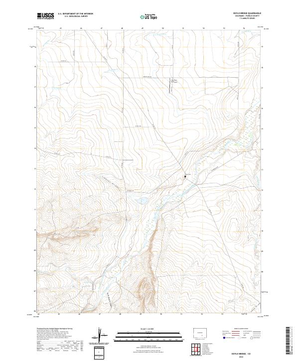
2022 Doyle Bridge
Pueblo County, CO
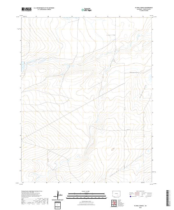
2022 Flying A Ranch
Pueblo County, CO
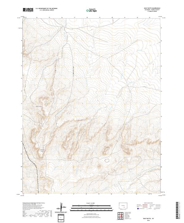
2022 Goat Butte
Pueblo County, CO
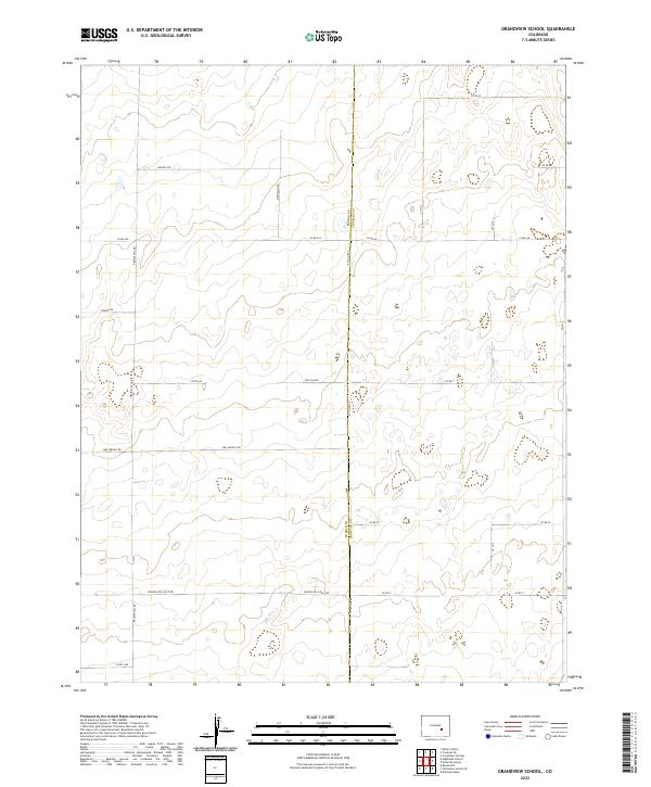
2022 Grandview School
Pueblo County, CO
2022 Grandview School SE
Pueblo County, CO
2022 Graneros Flats
Pueblo County, CO

2022 Hardesty Reservoir
Pueblo County, CO
2022 Highlands Church
Pueblo County, CO
2022 Hog Ranch Canyon
Pueblo County, CO
2022 Muldoon Hill
Pueblo County, CO
2022 Myers Canyon
Pueblo County, CO
2022 Nepesta
Pueblo County, CO
2022 North Avondale NE
Pueblo County, CO
2022 North Avondale
Pueblo County, CO
2022 Northeast Pueblo
Pueblo County, CO
2022 Northwest Pueblo
Pueblo County, CO
2022 Owl Canyon
Pueblo County, CO
2022 Pinon
Pueblo County, CO
2022 Red Top Ranch
Pueblo County, CO
2022 Sanford Hills
Pueblo County, CO
2022 Snowden Lake
Pueblo County, CO
2022 Southeast Pueblo
Pueblo County, CO
2022 Southwest Pueblo
Pueblo County, CO
2022 Steele Hollow
Pueblo County, CO
2022 Stone City
Pueblo County, CO
2022 Swallows
Pueblo County, CO
2022 Verde School
Pueblo County, CO
2022 Yellowbank Creek
Pueblo County, CO