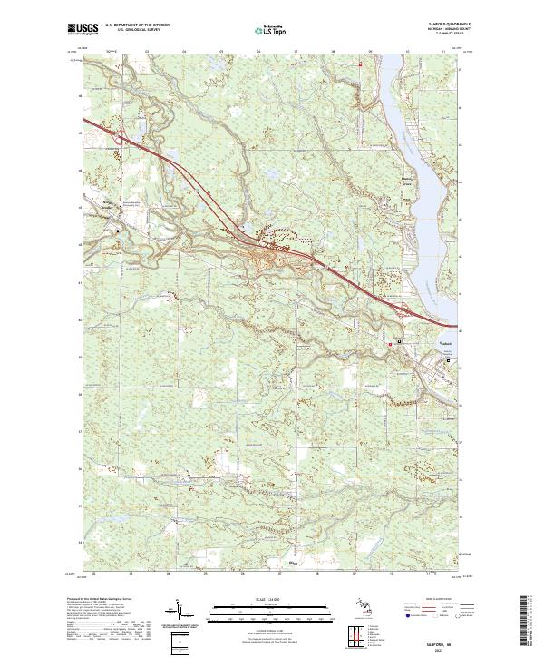
2023 Map of Sanford
USGS Topo · Published 2023About this map
Sanford and the winding Tittabawassee River dominate the eastern edge of this landscape, where the river widens near Francis Grove before narrowing south of town. The area is defined by a dense network of managed waterways, including Durbin Drain, Irish Reed Drain, and Carrol Creek Drain, which suggest a long history of water management for agricultural or local drainage purposes. To the west, the community of North Bradley sits at the intersection of several local routes, while the smaller settlement of Olson occupies the southern reaches.
Find a feature on this map
83 named features on this map. Tap any name to fly to it.
Don’t see what you’re looking for? This feature index may not catch every label — zoom into the map to look around manually.
Map Details
Editions of this 2023 Sanford Map
This is the sole edition of this map. No revisions or reprints were ever made.
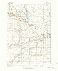
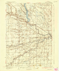
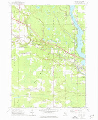
Historical Maps of Jerome Township Through Time
4 maps found