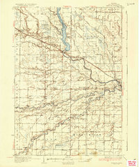
1936 Map of Sanford
USGS Topo · Published 1936About this map
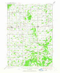
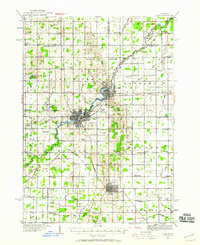
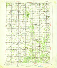
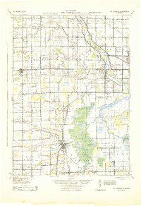
The Tittabawassee River and its major tributaries, the Chippewa River and Pine River, converge in this mid-1930s depiction of the Midland County landscape. At the heart of the region, the Sanford Lake reservoir is flanked by the Sanford Wild Life Refuge, while a Fire Tower stands watch over the surrounding timber and wetlands. The transportation network is defined by the Pere Marquette railroad and U S Highway No 10, which connect riverside settlements like Sanford and Averill. This era shows a densely settled rural interior where schoolhouses such as St Elmo Sch, Riverside Sch, and Bishop Sch served farming families near established burying grounds like Larkin Cem and Homer Cem. The map captures a transition where traditional river-valley life met the expanding infrastructure of modern state highways.
Find a feature on this map
103 named features on this map. Tap any name to fly to it.
Don’t see what you’re looking for? This feature index may not catch every label — zoom into the map to look around manually.
Map Details
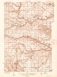
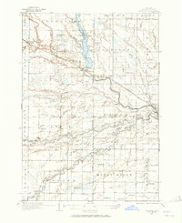
Editions of this 1936 Sanford Map
2 editions found
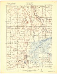
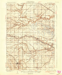
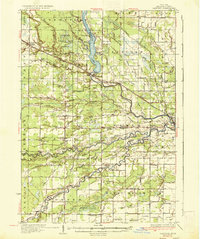
Other maps of this area
1917 · St. Charles
USGS Topo · 1:62,500
1930 · Shepherd
USGS Topo · 1:48,000
1934 · Sanford
USGS Topo · 1:62,500
1934 · Merrill
USGS Topo · 1:62,500
1935 · Alma
USGS Topo · 1:62,500
1936 · Shepherd
USGS Topo · 1:62,500
1936 · Sanford
USGS Topo · 1:62,500
1937 · Merrill
USGS Topo · 1:62,500

1938 · Alma
USGS Topo · 1:62,500
1943 · St. Charles
USGS Topo · 1:62,500