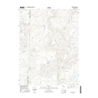
2016 Map of Sang Run
USGS Topo · Published 2016About this map
The Youghiogheny River carves a deep path through this borderland region, where the steep slopes of Elder Hill and Ginseng Hill meet the Maryland and West Virginia state line. Centered on the settlement of Sang Run, the landscape is defined by its significant water features and wetland ecosystems, including the expansive Deep Creek Lake in the southeast and the ecologically distinct Pine Swamp near Cranesville. For those tracing local history, the map identifies small burial sites like Sang Run Cem and Sisler Cem, alongside prominent natural landmarks such as Swallow Falls and Gap Falls. The terrain transitions from the high elevations of Snaggy Mtn and Piney Mtn to the riparian flats near Lake Ford, illustrating the diverse topography of Garrett County and Preston County.
Find a feature on this map
152 named features on this map. Tap any name to fly to it.
Don’t see what you’re looking for? This feature index may not catch every label — zoom into the map to look around manually.
Map Details
Editions of this 2016 Sang Run Map
This is the sole edition of this map. No revisions or reprints were ever made.
Other maps of this area

1886 · St. George
USGS Topo · 1:125,000

1891 · St. George
USGS Topo · 1:125,000

1895 · Piedmont
USGS Topo · 1:125,000

1899 · Oakland
USGS Topo · 1:62,500

1900 · Accident
USGS Topo · 1:62,500

1900 · Oakland
USGS Topo · 1:62,500

1904 · Bruceton
USGS Topo · 1:62,500

1907 · Kingwood
USGS Topo · 1:62,500

1925 · Kingwood
USGS Topo · 1:62,500

1926 · Bruceton
USGS Topo · 1:62,500