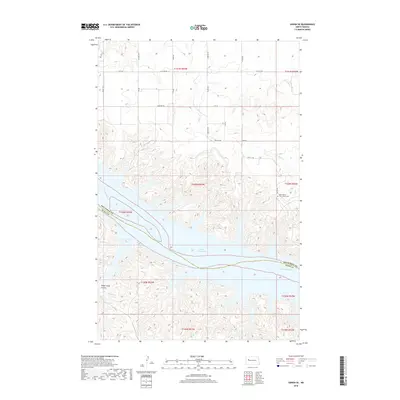
2018 Map of Sanish SE
USGS Topo · Published 2018About this map
The Missouri River corridor defines this modern survey, where the waters of Lake Sakakawea have transformed the landscape into a series of deeply inset bays and coulees. Along the eastern edge of the reservoir, Drags Wolf Bay and Horse Camp Coulee illustrate the complex shoreline that characterizes this portion of Mountrail and Dunn counties. This map captures a significant site for local and military history: the Holy Family U. S. Scouts Cem, situated near Bia Rd 601 and the headwaters of Little Shell Cr. The area remains sparsely populated, dominated by the expansive water body and a grid of rural routes such as 31st St NW. The presence of Boggy Cr and other small drainages highlights the drainage patterns of the high plains as they meet the Missouri valley.
Find a feature on this map
22 named features on this map. Tap any name to fly to it.
Don’t see what you’re looking for? This feature index may not catch every label — zoom into the map to look around manually.
Map Details
Editions of this 2018 Sanish SE Map
This is the sole edition of this map. No revisions or reprints were ever made.
Other maps of this area

1953 · Watford City
USGS Topo · 1:250,000

1957 · Watford City
USGS Topo · 1:250,000

1967 · Watford City
USGS Topo · 1:250,000

1967 · Sanish NW
USGS Topo · 1:24,000

1967 · Sanish
USGS Topo · 1:24,000

1967 · Sanish SE
USGS Topo · 1:24,000

1967 · New Town SW
USGS Topo · 1:24,000

1967 · Sanish SW
USGS Topo · 1:24,000

1970 · Mandaree
USGS Topo · 1:24,000

1970 · String Buttes
USGS Topo · 1:24,000