
1970 Map of String Buttes
USGS Topo · Published 1973About this map
Lake Sakakawea dominates the northern landscape of this Dunn County region, its fingers reaching inland to form Skunk Creek Bay. The area is characterized by the high elevations of the String Buttes and the prominent Heart Butte further east. Along the high ground near the eastern margin, the Independence Ch stands as a notable landmark for local history and genealogy researchers.
Find a feature on this map
12 named features on this map. Tap any name to fly to it.
Don’t see what you’re looking for? This feature index may not catch every label — zoom into the map to look around manually.
Map Details
Editions of this 1970 String Buttes Map
This is the sole edition of this map. No revisions or reprints were ever made.
Other maps of this area

1953 · Watford City
USGS Topo · 1:250,000

1957 · Watford City
USGS Topo · 1:250,000

1967 · Watford City
USGS Topo · 1:250,000

1967 · Sanish SE
USGS Topo · 1:24,000

1967 · New Town SW
USGS Topo · 1:24,000

1967 · New Town SE
USGS Topo · 1:24,000

1970 · Hay Flat
USGS Topo · 1:24,000
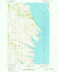
1970 · Saddle Butte
USGS Topo · 1:24,000

1970 · Mandaree SE
USGS Topo · 1:24,000
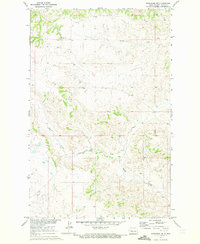
1970 · Mandaree NE
USGS Topo · 1:24,000