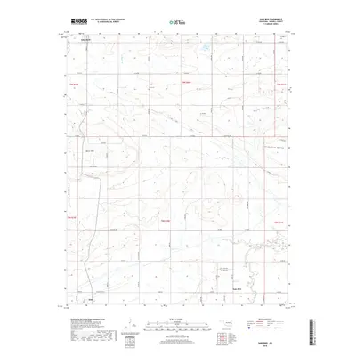
2018 Map of Sans Bois
USGS Topo · Published 2018About this map
Sans Bois Creek meanders through the heart of this Haskell County landscape, defining the topography of the many valleys that branch away from its course. The small settlement of Sans Bois sits near the base of the hills, accompanied by the Sans Bois Cem, while the northern portion of the quadrangle reaches toward Whitefield and the outskirts of Stigler. The terrain is characterized by a series of distinct corridors including Pruit Valley, Shropshire Valley, and Lona Valley, which are separated by prominent elevations such as Beaver Mtn. This network of country roads and section lines provides a clear view of the rural settlement patterns and land divisions common in eastern Oklahoma, anchored by family and community landmarks like the Vance Cem.
Find a feature on this map
42 named features on this map. Tap any name to fly to it.
Don’t see what you’re looking for? This feature index may not catch every label — zoom into the map to look around manually.
Map Details
Editions of this 2018 Sans Bois Map
This is the sole edition of this map. No revisions or reprints were ever made.
Other maps of this area

1900 · Sansbois
USGS Topo · 1:125,000

1909 · Sans Bois
USGS Topo · 1:125,000

1911 · Sansbois
USGS Topo · 1:125,000

1946 · Fort Smith
USGS Topo · 1:250,000

1962 · Stigler East
USGS Topo · 1:24,000

1962 · Stigler West
USGS Topo · 1:24,000

1963 · Porum
USGS Topo · 1:24,000

1965 · Fort Smith
USGS Topo · 1:250,000

1967 · Fort Smith
USGS Topo · 1:250,000
1968 · Lafayette
USGS Topo · 1:24,000