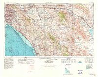
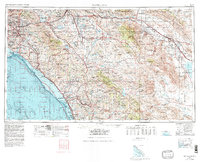
1959 Map of Santa Ana
USGS Topo · Published 1980About this map
The Santa Ana Mountains and the Coachella Valley anchor this mid-century look at the Southern California interior, showing the rapid expansion of the Los Angeles basin toward the desert. Extensive coastal development stretches from Newport Beach down to San Clemente, while the inland is defined by massive federal and state holdings. Large military installations like Camp Pendleton Marine Corps Base and March Air Force Base occupy significant territory alongside the Cleveland National Forest. The map documents the vital water infrastructure of the region, including the Santa Ana River, Lake Elsinore, and the western reaches of the Salton Sea. Long-distance transportation corridors, such as the Atchison Topeka and Santa Fe RR and the Santa Ana Fwy, illustrate the connective tissue between booming suburban centers and the arid landscapes of Joshua Tree National Monument.
Find a feature on this map
107 named features on this map. Tap any name to fly to it.
Don’t see what you’re looking for? This feature index may not catch every label — zoom into the map to look around manually.
Map Details
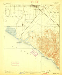
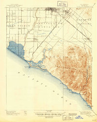
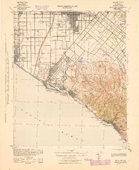
Editions of this 1959 Santa Ana Map
3 editions found

Historical Maps of San Diego Through Time
10 maps found
1896 Santa Ana
Orange County, CA
1901 Santa Ana
Orange County, CA
1942 Santa Ana
Orange County, CA

1947 Santa Ana
Orange County, CA

1949 Santa Ana
Orange County, CA

1956 Santa Ana
Orange County, CA
1959 Santa Ana
Orange County, CA
1960 Santa Ana
Orange County, CA

1965 Santa Ana
Orange County, CA

1983 Santa Ana
Orange County, CA