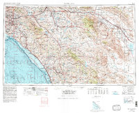
1959 Map of Santa Ana
USGS Topo · Published 1980About this map
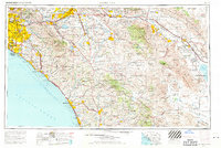
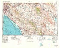
Santa Ana, Anaheim, and Garden Grove anchor a rapidly urbanizing corridor at the height of the mid-century Southern California boom. This topographic record illustrates the massive expansion of the regional transportation network, with the Santa Ana Freeway and San Diego Freeway facilitating growth southward toward San Clemente and Oceanside. Beyond the burgeoning coastal cities, the landscape transitions into the high elevations of the Santa Ana Mountains and the San Jacinto Mountains. The map provides significant detail on the interior, highlighting the location of the Palomar Observatory and the vast training grounds of Camp Pendleton. To the east, the terrain descends into the arid expanse of the Anza-Borrego Desert State Park, contrasting the dense residential blocks of Orange County with the remote peaks of the Vallecito Mountains and the distant Salton Sea.
Find a feature on this map
171 named features on this map. Tap any name to fly to it.
Don’t see what you’re looking for? This feature index may not catch every label — zoom into the map to look around manually.
Map Details
Editions of this 1959 Santa Ana Map
3 editions found
Other maps of this area

1893 · El Cajon
USGS Topo · 1:62,500

1893 · Oceanside
USGS Topo · 1:62,500

1893 · Escondido
USGS Topo · 1:62,500

1894 · Los Angeles
USGS Topo · 1:62,500

1894 · Pomona
USGS Topo · 1:62,500

1896 · Santa Ana
USGS Topo · 1:62,500

1896 · Pasadena
USGS Topo · 1:62,500

1896 · Anaheim
USGS Topo · 1:62,500

1896 · San Bernardino
USGS Topo · 1:62,500

1896 · Las Bolsas
USGS Topo · 1:62,500