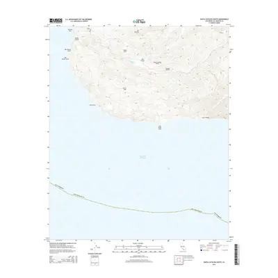
2015 Map of Santa Catalina South
USGS Topo · Published 2015About this map
Mt Banning and Cactus Peak dominate the southern interior of Santa Catalina Island, where the terrain drops sharply toward the Pacific Ocean. This coastal survey documents the island's southern reach, characterized by deep ravines like Middle Canyon and Silver Canyon that terminate at points such as China Point and Salta Verde Point. The presence of Middle Ranch Rd and Stage Rd suggests the historical transit routes connecting the island’s interior landmarks, including the high-elevation Eagles Nest and the quiet waters of McGee Lake. Near the western edge, Ben Weston Beach and Ben Weston Point mark the interface between the island’s steep topography and its exposed coastline.
Find a feature on this map
19 named features on this map. Tap any name to fly to it.
Don’t see what you’re looking for? This feature index may not catch every label — zoom into the map to look around manually.
Map Details
Editions of this 2015 Santa Catalina South Map
This is the sole edition of this map. No revisions or reprints were ever made.
Other maps of this area

1943 · Santa Catalina North
USGS Topo · 1:24,000

1943 · Santa Catalina East
USGS Topo · 1:24,000

1943 · Santa Catalina South
USGS Topo · 1:24,000
1943 · Santa Catalina West
USGS Topo · 1:24,000

1949 · Long Beach
USGS Topo · 1:250,000
1950 · Santa Catalina West
USGS Topo · 1:24,000
1950 · Santa Catalina South
USGS Topo · 1:24,000
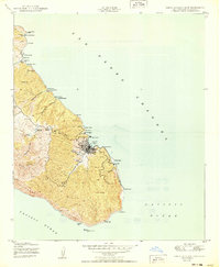
1950 · Santa Catalina East
USGS Topo · 1:24,000
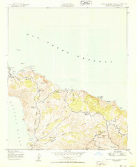
1950 · Santa Catalina North
USGS Topo · 1:24,000

1957 · Long Beach
USGS Topo · 1:250,000