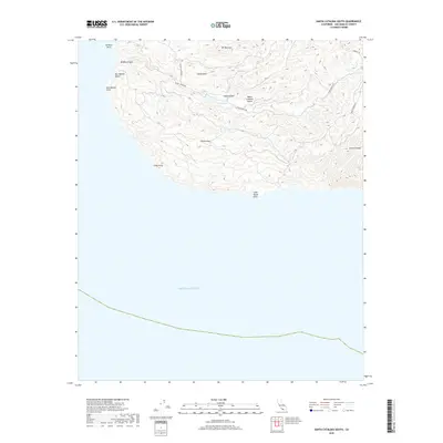
2018 Map of Santa Catalina South
USGS Topo · Published 2018About this map
Santa Catalina Island presents a complex interior landscape of steep ridges and deep drainage systems on its southern coast. The settlement of Eagles Nest sits along Middle Ranch Rd, which serves as a primary artery connecting the island's inland high points like Mt Banning and Cactus Peak. The topography is defined by significant coastal landmarks including Sentinel Rock and the southwest-facing Ben Weston Beach. Water management and natural drainage are evident through features such as McGee Lake and the winding course of Middle Canyon. This 2018 survey illustrates the network of primitive routes like KRBT Station Rd and Airport Rd that navigate the varied elevations between China Point and the dramatic drop-offs of the Grand Canyon label on the eastern edge of the quadrangle.
Find a feature on this map
18 named features on this map. Tap any name to fly to it.
Don’t see what you’re looking for? This feature index may not catch every label — zoom into the map to look around manually.
Map Details
Editions of this 2018 Santa Catalina South Map
This is the sole edition of this map. No revisions or reprints were ever made.
Other maps of this area

1943 · Santa Catalina North
USGS Topo · 1:24,000

1943 · Santa Catalina East
USGS Topo · 1:24,000

1943 · Santa Catalina South
USGS Topo · 1:24,000
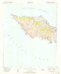
1943 · Santa Catalina West
USGS Topo · 1:24,000

1949 · Long Beach
USGS Topo · 1:250,000
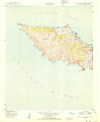
1950 · Santa Catalina West
USGS Topo · 1:24,000
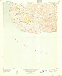
1950 · Santa Catalina South
USGS Topo · 1:24,000
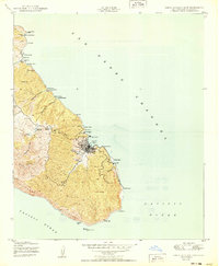
1950 · Santa Catalina East
USGS Topo · 1:24,000
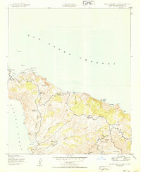
1950 · Santa Catalina North
USGS Topo · 1:24,000

1957 · Long Beach
USGS Topo · 1:250,000