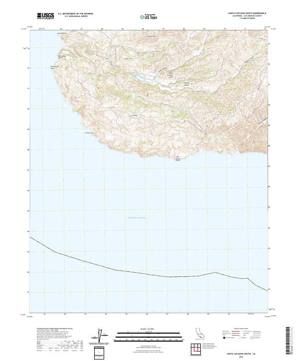
2022 Map of Santa Catalina South
USGS Topo · Published 2022About this map
Santa Catalina Island reveals its dramatic southern terrain in this 2022 survey, dominated by a central spine of peaks including Mt Banning and Cactus Peak. The landscape is defined by deep incisions like Cape Canyon and Silver Canyon that drain toward the Pacific Ocean. A network of unpaved tracks, including Middle Ranch Rd and Middle Canyon Rd, provides the primary access through the interior, passing landmarks such as Eagles Nest and the secluded McGee Lake. Along the shoreline, the map identifies specific coastal features such as Ben Weston Beach and China Point, reflecting the island's conservation status within the Channel Islands system. The lack of dense development underscores the area's role as a protected natural reserve, where the topography remains the primary focus.
Find a feature on this map
20 named features on this map. Tap any name to fly to it.
Don’t see what you’re looking for? This feature index may not catch every label — zoom into the map to look around manually.
Map Details
Editions of this 2022 Santa Catalina South Map
This is the sole edition of this map. No revisions or reprints were ever made.
Other maps of this area

1943 · Santa Catalina North
USGS Topo · 1:24,000

1943 · Santa Catalina East
USGS Topo · 1:24,000

1943 · Santa Catalina South
USGS Topo · 1:24,000
1943 · Santa Catalina West
USGS Topo · 1:24,000

1949 · Long Beach
USGS Topo · 1:250,000
1950 · Santa Catalina West
USGS Topo · 1:24,000
1950 · Santa Catalina South
USGS Topo · 1:24,000
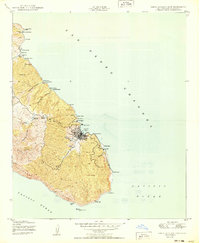
1950 · Santa Catalina East
USGS Topo · 1:24,000
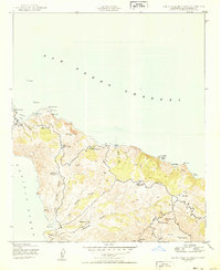
1950 · Santa Catalina North
USGS Topo · 1:24,000

1957 · Long Beach
USGS Topo · 1:250,000