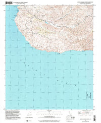
1998 Map of Santa Catalina South
USGS Topo · Published 2002About this map
Middle Ranch and the nearby Eagles Nest sit in the interior of Santa Catalina's southern coast, marking a pocket of development amidst the dramatic elevation shifts of the island's high ridges. This late-twentieth-century landscape is defined by its coastal isolation, where land access is constrained by the steep walls of Middle Canyon and Cape Canyon. Water management is central to the area's geography, visible through the Thompson Dam and Middle Ranch Reservoir, which serve as critical infrastructure in this arid environment. Along the shoreline, historical access points such as Mills Landing and Silver Canyon Landing represent the few breaks in the rocky Pacific coast where sea-to-shore activity was feasible. The map also records prominent survey markers and peaks, including Mt Banning and Cactus Peak, providing a clear record of the island's topography as it remained largely unchanged at the turn of the millennium.
Find a feature on this map
18 named features on this map. Tap any name to fly to it.
Don’t see what you’re looking for? This feature index may not catch every label — zoom into the map to look around manually.
Map Details
Editions of this 1998 Santa Catalina South Map
This is the sole edition of this map. No revisions or reprints were ever made.
Other maps of this area

1943 · Santa Catalina North
USGS Topo · 1:24,000

1943 · Santa Catalina East
USGS Topo · 1:24,000

1943 · Santa Catalina South
USGS Topo · 1:24,000
1943 · Santa Catalina West
USGS Topo · 1:24,000

1949 · Long Beach
USGS Topo · 1:250,000
1950 · Santa Catalina West
USGS Topo · 1:24,000
1950 · Santa Catalina South
USGS Topo · 1:24,000
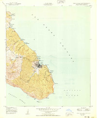
1950 · Santa Catalina East
USGS Topo · 1:24,000
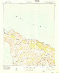
1950 · Santa Catalina North
USGS Topo · 1:24,000

1957 · Long Beach
USGS Topo · 1:250,000