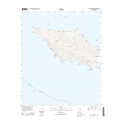
2015 Map of Santa Catalina West
USGS Topo · Published 2015About this map
Santa Catalina Island narrows to its distinctive isthmus at Two Harbors, where the land bridge separates the open Pacific Ocean from the sheltered waters of Catalina Harbor. This 2015 survey details the island's western interior, dominated by high points like Silver Peak and Mt Torquemada. The coastline is defined by a succession of remote coves and landing sites, including Parsons Landing, Johnsons Landing, and Sullivans Beach, which reflect the island's long history as a maritime refuge and destination. The contrast between the sheer cliffs near Eagle Rock and the relatively gentle terrain of Cherry Valley illustrates the varied geological character of this offshore landscape. From the West End to the complex inlets of Emerald Bay and Fourth of July Cove, the map provides a precise look at the island's topography before more recent conservation and development shifts.
Find a feature on this map
38 named features on this map. Tap any name to fly to it.
Don’t see what you’re looking for? This feature index may not catch every label — zoom into the map to look around manually.
Map Details
Editions of this 2015 Santa Catalina West Map
This is the sole edition of this map. No revisions or reprints were ever made.
Other maps of this area

1896 · San Pedro
USGS Topo · 1:62,500

1901 · Southern California Sheet No. 1
USGS Topo · 1:250,000

1904 · Southern California Sheet No. 1
USGS Topo · 1:250,000

1943 · San Pedro
USGS Topo · 1:125,000

1943 · Santa Catalina North
USGS Topo · 1:24,000

1943 · Santa Catalina South
USGS Topo · 1:24,000
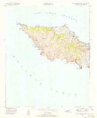
1943 · Santa Catalina West
USGS Topo · 1:24,000
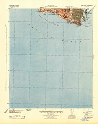
1944 · San Pedro
USGS Topo · 1:62,500

1949 · Long Beach
USGS Topo · 1:250,000
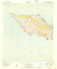
1950 · Santa Catalina West
USGS Topo · 1:24,000