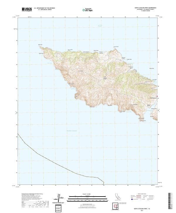
2021 Map of Santa Catalina West
USGS Topo · Published 2021About this map
Santa Catalina Island's west end presents a landscape defined by sharp elevation shifts and numerous coastal indentations. The settlement of Two Harbors serves as the primary gateway, situated at the narrow isthmus where the island's coastline draws close between Catalina Harbor and the northern shores. From this point, the terrain rises steeply toward prominent summits such as Silver Peak and Mt Torquemada, illustrating the island's mountainous character. The coastline is dotted with isolated points of access like Parsons Landing and Johnsons Landing, which reflect the historical dependence on maritime arrival in this road-sparse region.
Find a feature on this map
36 named features on this map. Tap any name to fly to it.
Don’t see what you’re looking for? This feature index may not catch every label — zoom into the map to look around manually.
Map Details
Editions of this 2021 Santa Catalina West Map
This is the sole edition of this map. No revisions or reprints were ever made.
Other maps of this area

1896 · San Pedro
USGS Topo · 1:62,500

1901 · Southern California Sheet No. 1
USGS Topo · 1:250,000

1904 · Southern California Sheet No. 1
USGS Topo · 1:250,000

1943 · San Pedro
USGS Topo · 1:125,000

1943 · Santa Catalina North
USGS Topo · 1:24,000

1943 · Santa Catalina South
USGS Topo · 1:24,000
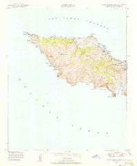
1943 · Santa Catalina West
USGS Topo · 1:24,000
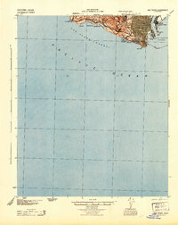
1944 · San Pedro
USGS Topo · 1:62,500

1949 · Long Beach
USGS Topo · 1:250,000
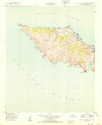
1950 · Santa Catalina West
USGS Topo · 1:24,000