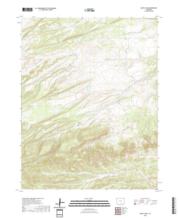
2022 Map of Santa Clara
USGS Topo · Published 2022About this map
Thomas Rodger Cem sits on a high bench overlooking a landscape defined by sharp topographical ridges and complex water drainages in this modern survey. The terrain is marked by distinctive geological formations such as Small Dyke and Big Dyke, which cut across the high-elevation country of southern Colorado. Water management is a central theme of the local landscape, evidenced by Sunnyside Reservoir and the Arnold Flood Water Reservoir.
Find a feature on this map
43 named features on this map. Tap any name to fly to it.
Don’t see what you’re looking for? This feature index may not catch every label — zoom into the map to look around manually.
Map Details
Editions of this 2022 Santa Clara Map
This is the sole edition of this map. No revisions or reprints were ever made.
Other maps of this area

1891 · Walsenburg
USGS Topo · 1:125,000

1891 · Spanish Peaks
USGS Topo · 1:125,000

1893 · Spanish Peaks
USGS Topo · 1:125,000

1894 · Walsenburg
USGS Topo · 1:125,000

1895 · Spanish Peaks
USGS Topo · 1:125,000

1897 · Walsenburg
USGS Topo · 1:125,000

1897 · Spanish Peaks
USGS Topo · 1:125,000

1900 · Spanish Peaks
USGS Topo · 1:125,000

1900 · Walsenburg
USGS Topo · 1:125,000

1954 · Trinidad
USGS Topo · 1:250,000