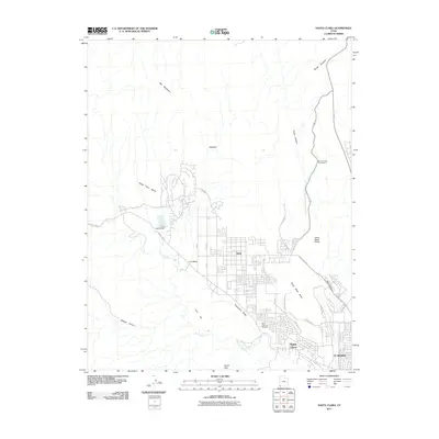
2011 Map of Santa Clara
USGS Topo · Published 2011About this map
Ivins and Santa Clara anchor this southwestern Utah landscape, showcasing the modern residential expansion at the edge of the St George metropolitan area. The topography is defined by the volcanic and sandstone formations of the Red Mountains and Snow Canyon, where the Snow Canyon Campground provides a gateway to the arid terrain. Water management is a central theme of the local geography, visible through the course of the Santa Clara River and the Ivins Bench Dam, which supports the elevated Santa Clara Bench. Significant local landmarks include the Santa Clara City Cemetery and the intriguing nomenclature of Hellhole and Graveyard Wash. This survey captures a moment of suburban development as new thoroughfares like Pioneer Pkwy and S Tuacahn Pkwy integrate the residential centers with the surrounding geological features like North Black Rocks and Land Hill.
Find a feature on this map
29 named features on this map. Tap any name to fly to it.
Don’t see what you’re looking for? This feature index may not catch every label — zoom into the map to look around manually.
Map Details
Editions of this 2011 Santa Clara Map
This is the sole edition of this map. No revisions or reprints were ever made.
Other maps of this area

1885 · St. George
USGS Topo · 1:250,000

1891 · St. George
USGS Topo · 1:250,000

1953 · Cedar City
USGS Topo · 1:250,000

1954 · Beaver Dam Mts NE
USGS Topo · 1:24,000

1954 · Gunlock
USGS Topo · 1:24,000

1954 · Beaver Dam Mts SE
USGS Topo · 1:24,000

1954 · St. George
USGS Topo · 1:62,500
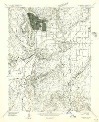
1956 · St. George SE
USGS Topo · 1:24,000

1956 · St. George NW
USGS Topo · 1:24,000

1956 · St. George NE
USGS Topo · 1:24,000