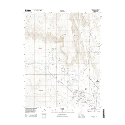
2014 Map of Santa Clara
USGS Topo · Published 2014About this map
Santa Clara and Ivins occupy the southern reaches of this landscape, positioned along the critical waterway of the Santa Clara River. This 2014 survey captures the suburban expansion of the St. George area, where modern residential street networks like The Reserve and Entrada Trl meet the older agricultural and pioneer foundations of the valley. The terrain is defined by dramatic volcanic and sandstone formations, notably the North Black Rocks and the deep incision of Snow Canyon to the north.
Find a feature on this map
118 named features on this map. Tap any name to fly to it.
Don’t see what you’re looking for? This feature index may not catch every label — zoom into the map to look around manually.
Map Details
Editions of this 2014 Santa Clara Map
This is the sole edition of this map. No revisions or reprints were ever made.
Other maps of this area

1885 · St. George
USGS Topo · 1:250,000

1891 · St. George
USGS Topo · 1:250,000

1953 · Cedar City
USGS Topo · 1:250,000

1954 · Beaver Dam Mts NE
USGS Topo · 1:24,000

1954 · Gunlock
USGS Topo · 1:24,000

1954 · Beaver Dam Mts SE
USGS Topo · 1:24,000

1954 · St. George
USGS Topo · 1:62,500
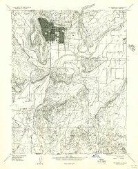
1956 · St. George SE
USGS Topo · 1:24,000

1956 · St. George NW
USGS Topo · 1:24,000

1956 · St. George NE
USGS Topo · 1:24,000