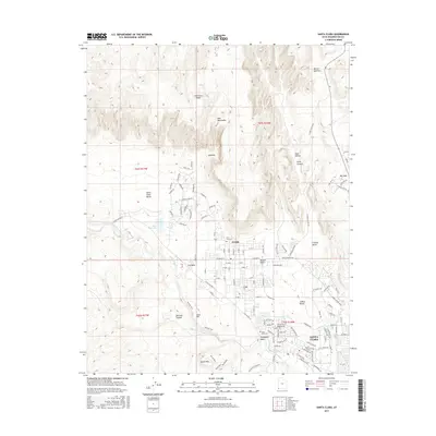
2017 Map of Santa Clara
USGS Topo · Published 2017About this map
Santa Clara and Ivins anchor this 2017 topographic study of Washington County, where the Santa Clara River winds through a landscape defined by dramatic geological transitions. The map shows the suburban expansion of these communities into the edges of the Mojave Desert, with residential developments like those along Kayenta Pkwy pressing toward the base of the Red Mountains. This modern survey is particularly valuable for its detailed street names and trail data, including the Sipala TRL and Anasazi Trail, which reflect the area's deep indigenous heritage.
Find a feature on this map
115 named features on this map. Tap any name to fly to it.
Don’t see what you’re looking for? This feature index may not catch every label — zoom into the map to look around manually.
Map Details
Editions of this 2017 Santa Clara Map
This is the sole edition of this map. No revisions or reprints were ever made.
Other maps of this area

1885 · St. George
USGS Topo · 1:250,000

1891 · St. George
USGS Topo · 1:250,000

1953 · Cedar City
USGS Topo · 1:250,000

1954 · Beaver Dam Mts NE
USGS Topo · 1:24,000

1954 · Gunlock
USGS Topo · 1:24,000

1954 · Beaver Dam Mts SE
USGS Topo · 1:24,000

1954 · St. George
USGS Topo · 1:62,500
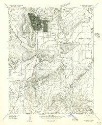
1956 · St. George SE
USGS Topo · 1:24,000

1956 · St. George NW
USGS Topo · 1:24,000

1956 · St. George NE
USGS Topo · 1:24,000