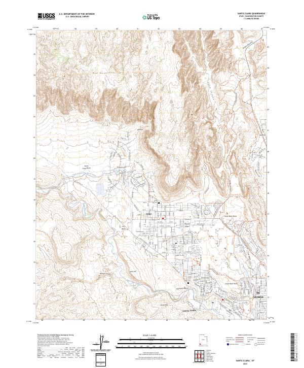
2023 Map of Santa Clara
USGS Topo · Published 2023About this map
Santa Clara and Ivins sit at the edge of the Mojave Desert, where the suburban growth of southwestern Utah meets the dramatic geology of the Red Mountains. This modern survey illustrates the complex relationship between water and settlement in an arid landscape, tracing the Upper Santa Clara Bench Canal as it winds across the Santa Clara Bench to support the local agricultural heritage. To the north, the Red Mountain Wilderness and the deep incision of Snow Canyon dominate the terrain, providing a stark contrast to the gridded developments of St. George appearing in the southeast. Genealogists and local historians can find several important sites, including the Santa Clara Cem and Ivins City Cem, while features like Wittwer Canyon and Land Hill preserve the family names and natural landmarks that have long defined this community.
Find a feature on this map
146 named features on this map. Tap any name to fly to it.
Don’t see what you’re looking for? This feature index may not catch every label — zoom into the map to look around manually.
Map Details
Editions of this 2023 Santa Clara Map
This is the sole edition of this map. No revisions or reprints were ever made.
Other maps of this area

1885 · St. George
USGS Topo · 1:250,000

1891 · St. George
USGS Topo · 1:250,000

1953 · Cedar City
USGS Topo · 1:250,000

1954 · Beaver Dam Mts NE
USGS Topo · 1:24,000

1954 · Gunlock
USGS Topo · 1:24,000

1954 · Beaver Dam Mts SE
USGS Topo · 1:24,000

1954 · St. George
USGS Topo · 1:62,500
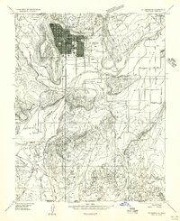
1956 · St. George SE
USGS Topo · 1:24,000

1956 · St. George NW
USGS Topo · 1:24,000

1956 · St. George NE
USGS Topo · 1:24,000