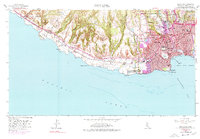
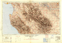
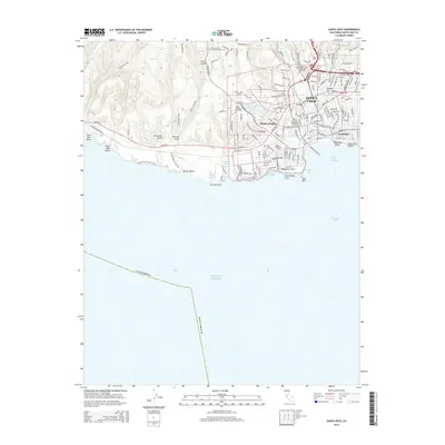
1954 Map of Santa Cruz
USGS Topo · Published 1968About this map
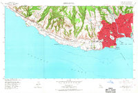
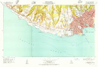
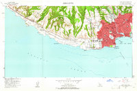
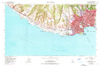
Santa Cruz dominates the eastern coastline of this mid-century survey, its urban grid extending from the San Lorenzo River to the shores of Monterey Bay. The map highlights a dense collection of civic and religious institutions, including St Josephs Shrine, Mission Hosp, and several local schools like Mission Hill Jr High Sch and Branciforte Sch. Along the waterfront, the iconic Boardwalk and Municipal Pier mark the city's identity as a coastal destination, while the Coast Guard Reservation sits at Pt Santa Cruz.
Find a feature on this map
59 named features on this map. Tap any name to fly to it.
Don’t see what you’re looking for? This feature index may not catch every label — zoom into the map to look around manually.
Map Details
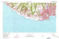
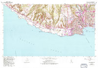
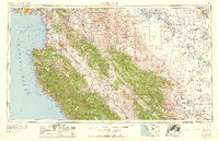
Editions of this 1954 Santa Cruz Map
8 editions found
Historical Maps of Santa Cruz Through Time
11 maps found
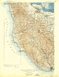
1902 Santa Cruz
Santa Cruz County, CA
1948 Santa Cruz
Santa Cruz County, CA
1954 Santa Cruz
Santa Cruz County, CA

1955 Santa Cruz
Santa Cruz County, CA

1957 Santa Cruz
Santa Cruz County, CA
1958 Santa Cruz
Santa Cruz County, CA

1965 Santa Cruz
Santa Cruz County, CA
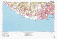
2012 Santa Cruz
Santa Cruz County, CA
2015 Santa Cruz
Santa Cruz County, CA
2018 Santa Cruz
Santa Cruz County, CA
2021 Santa Cruz
Santa Cruz County, CA