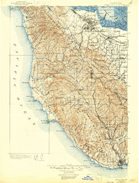
1902 Map of Santa Cruz
USGS Topo · Published 1946About this map
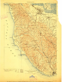
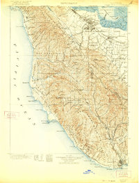
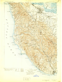
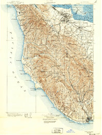
Stanford University and the emerging towns of the Peninsula anchor the northern edge of this survey, capturing the landscape before the intensive suburbanization of the 20th century. While Palo Alto, Menlo Park, and Mountain View are established along the Southern Pacific railroad, the vast interior is dominated by the Santa Cruz Mountains. Large Mexican land grant tracts like Cañada de Raymundo and San Gregorio still define property lines, and early logging activity is evident at Blooms Mill. Along the Pacific coast, remote settlements like Pescadero and San Gregorio serve isolated farming and ranching communities. The map highlights the early preservation of the California Redwood Park at Big Basin, established just as these surveys were being finalized. Maritime landmarks including Pigeon Point and Año Nuevo Isd. mark a coastline still dependent on seafaring trade and lighthouses.
Find a feature on this map
165 named features on this map. Tap any name to fly to it.
Don’t see what you’re looking for? This feature index may not catch every label — zoom into the map to look around manually.
Map Details
Editions of this 1902 Santa Cruz Map
9 editions found
Other maps of this area

1889 · San Jose
USGS Topo · 1:62,500

1892 · San Mateo
USGS Topo · 1:62,500

1896 · San Mateo
USGS Topo · 1:62,500

1897 · San Jose
USGS Topo · 1:62,500

1897 · Palo Alto
USGS Topo · 1:62,500

1899 · San Jose
USGS Topo · 1:62,500

1899 · Palo Alto
USGS Topo · 1:62,500

1899 · Haywards
USGS Topo · 1:62,500

1899 · San Mateo
USGS Topo · 1:62,500

1902 · Santa Cruz
USGS Topo · 1:125,000