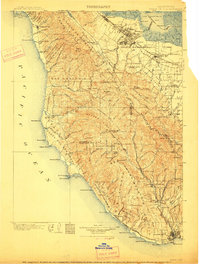
1902 Map of Santa Cruz
USGS Topo · Published 1912About this map
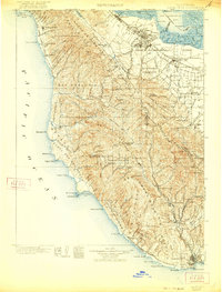
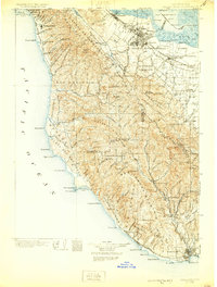
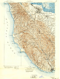
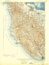
Santa Cruz and the surrounding central coast appear here in a transition from the old ranchos to the burgeoning orchard and timber economies of the early twentieth century. Large Spanish land grant divisions like Cañada de Raymundo and San Gregorio still define the inland landscape, while the Southern Pacific Railroad fuels growth along the bay at Palo Alto and Mayfield. The rugged Ben Lomond Mountain and Castle Rock Ridge dominate the interior, sheltering the newly established California Redwood Park at Big Basin. Along the shoreline, maritime navigation is anchored by the Pigeon Point light, and small coastal settlements such as Pescadero and Halfmoon Bay serve isolated farming communities. In the southern reaches, the San Lorenzo Valley is detailed with rail-accessible towns like Boulder Creek and Ben Lomond, where early tourism and lumbering shaped the local infrastructure.
Find a feature on this map
124 named features on this map. Tap any name to fly to it.
Don’t see what you’re looking for? This feature index may not catch every label — zoom into the map to look around manually.
Map Details
Editions of this 1902 Santa Cruz Map
9 editions found
Other maps of this area

1889 · San Jose
USGS Topo · 1:62,500

1892 · San Mateo
USGS Topo · 1:62,500

1896 · San Mateo
USGS Topo · 1:62,500

1897 · San Jose
USGS Topo · 1:62,500

1897 · Palo Alto
USGS Topo · 1:62,500

1899 · San Jose
USGS Topo · 1:62,500

1899 · Palo Alto
USGS Topo · 1:62,500

1899 · Haywards
USGS Topo · 1:62,500

1899 · San Mateo
USGS Topo · 1:62,500

1902 · Santa Cruz
USGS Topo · 1:125,000