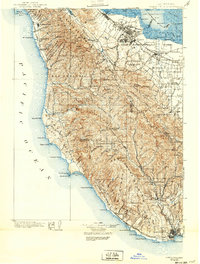
1902 Map of Santa Cruz
USGS Topo · Published 1939About this map
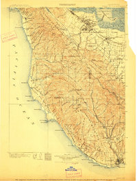
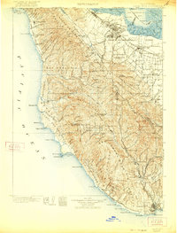
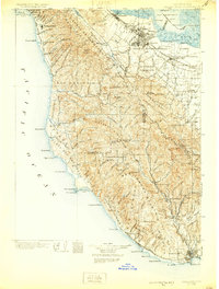
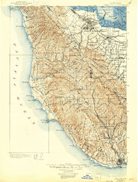
Stanford University and the emerging town of Palo Alto anchor the northern reaches of this coastal landscape, surveyed just before the turn of the century. The map documents the Peninsula and Santa Cruz Mountains at a pivotal moment, showing the heavy reliance on the Southern Pacific R. R. for inland transport and a series of maritime landings such as Cooley Landing and Mountain View Landing along the San Francisco Bay sloughs. Further south, the establishment of California Redwood Park at Big Basin highlights early conservation efforts in the Santa Cruz Mountains.
Find a feature on this map
121 named features on this map. Tap any name to fly to it.
Don’t see what you’re looking for? This feature index may not catch every label — zoom into the map to look around manually.
Map Details
Editions of this 1902 Santa Cruz Map
9 editions found
Other maps of this area

1889 · San Jose
USGS Topo · 1:62,500

1892 · San Mateo
USGS Topo · 1:62,500

1896 · San Mateo
USGS Topo · 1:62,500

1897 · San Jose
USGS Topo · 1:62,500

1897 · Palo Alto
USGS Topo · 1:62,500

1899 · San Jose
USGS Topo · 1:62,500

1899 · Palo Alto
USGS Topo · 1:62,500

1899 · Haywards
USGS Topo · 1:62,500

1899 · San Mateo
USGS Topo · 1:62,500

1902 · Santa Cruz
USGS Topo · 1:125,000