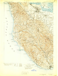
1902 Map of Santa Cruz
USGS Topo · Published 1930About this map
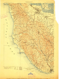
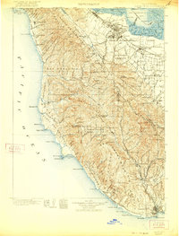
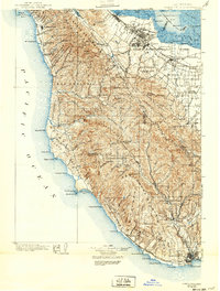
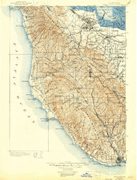
Stanford University and the emerging towns of the Peninsula anchor the northeast corner of this coastal survey, where the Southern Pacific R. R. connects Palo Alto and Mayfield to the wider Bay Area. The landscape transitions sharply from the tidal marshes of San Francisco Bay and landings like Cooley Landing to the dense timberlands of the Santa Cruz Mountains. This era captures the early preservation of the giant trees at California Redwood Park in Big Basin, a significant shift toward conservation as the local timber industry, evidenced by Blooms Mill, continued to shape the interior canyons.
Find a feature on this map
153 named features on this map. Tap any name to fly to it.
Don’t see what you’re looking for? This feature index may not catch every label — zoom into the map to look around manually.
Map Details
Editions of this 1902 Santa Cruz Map
9 editions found
Other maps of this area

1889 · San Jose
USGS Topo · 1:62,500

1892 · San Mateo
USGS Topo · 1:62,500

1896 · San Mateo
USGS Topo · 1:62,500

1897 · San Jose
USGS Topo · 1:62,500

1897 · Palo Alto
USGS Topo · 1:62,500

1899 · San Jose
USGS Topo · 1:62,500

1899 · Palo Alto
USGS Topo · 1:62,500

1899 · Haywards
USGS Topo · 1:62,500

1899 · San Mateo
USGS Topo · 1:62,500

1902 · Santa Cruz
USGS Topo · 1:125,000