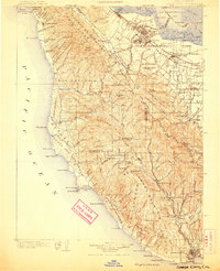
1902 Map of Santa Cruz
USGS Topo · Published 1906About this map
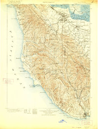
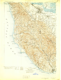
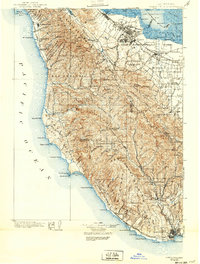
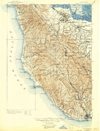
The Santa Cruz Mountains and the emerging Santa Clara Valley communities define this early 20th-century landscape. On the bayside, the Southern Pacific RR connects established towns like Menlo Park and Palo Alto, where Stanford University is already a prominent landmark, to growing fruit-growing districts near Sunnyvale and Cupertino. To the west, the coast remains relatively isolated, dotted with landings and points such as Pigeon Point L.H. and the settlement of Pescadero.
Find a feature on this map
164 named features on this map. Tap any name to fly to it.
Don’t see what you’re looking for? This feature index may not catch every label — zoom into the map to look around manually.
Map Details
Editions of this 1902 Santa Cruz Map
9 editions found
Other maps of this area

1889 · San Jose
USGS Topo · 1:62,500

1892 · San Mateo
USGS Topo · 1:62,500

1896 · San Mateo
USGS Topo · 1:62,500

1897 · San Jose
USGS Topo · 1:62,500

1897 · Palo Alto
USGS Topo · 1:62,500

1899 · San Jose
USGS Topo · 1:62,500

1899 · Palo Alto
USGS Topo · 1:62,500

1899 · Haywards
USGS Topo · 1:62,500

1899 · San Mateo
USGS Topo · 1:62,500

1902 · Santa Cruz
USGS Topo · 1:125,000