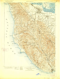
1902 Map of Santa Cruz
USGS Topo · Published 1921About this map
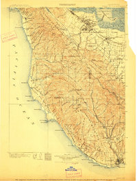
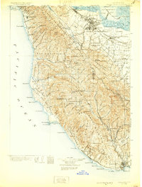
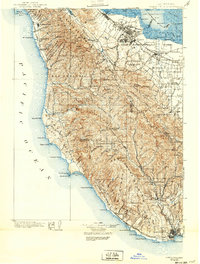
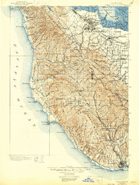
The Santa Cruz Mountains and the San Francisco Peninsula are documented here at a pivotal moment of early development, surveying the region before the modern suburban expansion of the Santa Clara Valley. The Southern Pacific R. R. follows the bay shore, connecting established hubs like Palo Alto, Mayfield, and Mountain View. The map reveals a landscape defined by timber and agriculture, featuring Blooms Mill tucked in the redwoods and an Asphalt Bed near the coast. Along the rugged Pacific shoreline, maritime safety is anchored by the Pigeon Point L. H. and Año Nuevo L. H.. Educational institutions are already prominent landmarks, with both Stanford University and a Catholic University near the Peninsula's northern reach. Moving inland, the transition from the bay flats to the ridges is marked by the nascent California Redwood Park and small mountain settlements like La Honda and Boulder Creek.
Find a feature on this map
165 named features on this map. Tap any name to fly to it.
Don’t see what you’re looking for? This feature index may not catch every label — zoom into the map to look around manually.
Map Details
Editions of this 1902 Santa Cruz Map
9 editions found
Other maps of this area

1889 · San Jose
USGS Topo · 1:62,500

1892 · San Mateo
USGS Topo · 1:62,500

1896 · San Mateo
USGS Topo · 1:62,500

1897 · San Jose
USGS Topo · 1:62,500

1897 · Palo Alto
USGS Topo · 1:62,500

1899 · San Jose
USGS Topo · 1:62,500

1899 · Palo Alto
USGS Topo · 1:62,500

1899 · Haywards
USGS Topo · 1:62,500

1899 · San Mateo
USGS Topo · 1:62,500

1902 · Santa Cruz
USGS Topo · 1:125,000