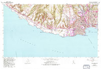
1954 Map of Santa Cruz
USGS Topo · Published 1994About this map
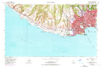
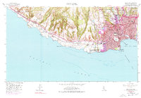
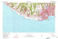
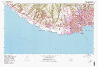
The Santa Cruz coastline and the expansive grounds of the Univ of Calif Santa Cruz define this topographic landscape as it appeared in the mid-20th century. This edition shows the transition from the city's residential grid to the agricultural and open spaces of Wilder Ranch State Park and the rugged bluffs at Sand Hill Bluff. The industrial and transportation history is marked by the Southern Pacific railroad line tracing the coast, passing landmarks like Neary Lagoon and the Municipal Pier.
Find a feature on this map
61 named features on this map. Tap any name to fly to it.
Don’t see what you’re looking for? This feature index may not catch every label — zoom into the map to look around manually.
Map Details
Editions of this 1954 Santa Cruz Map
8 editions found
Other maps of this area

1902 · Santa Cruz
USGS Topo · 1:125,000

1912 · Capitola
USGS Topo · 1:62,500

1914 · Capitola
USGS Topo · 1:62,500

1916 · New Almaden
USGS Topo · 1:48,000

1919 · New Almaden
USGS Topo · 1:62,500

1940 · Capitola
USGS Topo · 1:62,500

1940 · Los Gatos
USGS Topo · 1:62,500

1943 · Los Gatos
USGS Topo · 1:62,500

1947 · San Francisco
USGS Topo · 1:250,000

1947 · San Jose
USGS Topo · 1:250,000