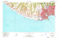
1954 Map of Santa Cruz
USGS Topo · Published 1969About this map
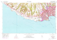
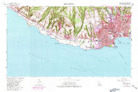
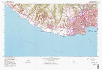
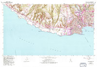
Santa Cruz is anchored by the San Lorenzo River and the expanding footprint of the Univ of Calif Santa Cruz. This survey captures the coastal city as it grew inland and along the shore, featuring the famous Boardwalk and Municipal Pier on Monterey Bay. The map highlights a complex layers of history, from early Spanish land grants like Tres Ojos de Agua and La Carbonera to the industrial presence of an Asphalt Pit and several quarries. Coastal landmarks like Natural Bridges Beach State Park and Pt Santa Cruz define the rugged Pacific edge. Urban development is densely documented, showing the Southern Pacific railroad lines weaving through neighborhoods to serve the waterfront, alongside local institutions such as Mission Hill Jr High Sch and St Josephs Shrine.
Find a feature on this map
61 named features on this map. Tap any name to fly to it.
Don’t see what you’re looking for? This feature index may not catch every label — zoom into the map to look around manually.
Map Details
Editions of this 1954 Santa Cruz Map
8 editions found
Other maps of this area

1902 · Santa Cruz
USGS Topo · 1:125,000

1912 · Capitola
USGS Topo · 1:62,500

1914 · Capitola
USGS Topo · 1:62,500

1916 · New Almaden
USGS Topo · 1:48,000

1919 · New Almaden
USGS Topo · 1:62,500

1940 · Capitola
USGS Topo · 1:62,500

1940 · Los Gatos
USGS Topo · 1:62,500

1943 · Los Gatos
USGS Topo · 1:62,500

1947 · San Francisco
USGS Topo · 1:250,000

1947 · San Jose
USGS Topo · 1:250,000