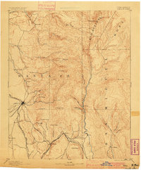
1894 Map of Santa Fe
USGS Topo · Published 1900About this map
Santa Fe serves as the focal point of this reconnaissance survey, situated at the junction of the Santa Fe Southern R. R. and the Atchison Topeka And Santa Fe R. R. near the base of the Sangre de Cristo Mountains. The urban core is overlooked by Old Fort Marcy, while the surrounding high desert and mountain landscape is dotted with early Spanish and Puebloan settlements such as Tesuque Pueblo, Santuario, and Escondillo. The mapping reveals a rugged hydraulic network including the Santa Cruz R. and the Rio Pecos, which carved deep canyons like Apache Canyon and Canyon Ancho. Small outposts and agricultural holdings like Gonzales Ranch, Rodriguez, and Rock Corral illustrate the dispersed nature of late 19th-century habitation. The terrain is dominated by prominent summits including Baldy Peak and Truchas Peak, marking a transition from the river valleys to the high peaks that defined the early territorial transport routes through New Mexico.
Find a feature on this map
63 named features on this map. Tap any name to fly to it.
Don’t see what you’re looking for? This feature index may not catch every label — zoom into the map to look around manually.
Map Details
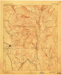
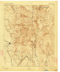
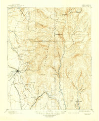
Editions of this 1894 Santa Fe Map
5 editions found
Other maps of this area

1889 · Las Vegas
USGS Topo · 1:125,000

1889 · Santa Fe
USGS Topo · 1:125,000

1890 · Bernal
USGS Topo · 1:125,000

1891 · Bernal
USGS Topo · 1:125,000

1891 · Las Vegas
USGS Topo · 1:125,000

1892 · San Pedro
USGS Topo · 1:125,000

1892 · Santa Clara
USGS Topo · 1:125,000

1893 · Las Vegas
USGS Topo · 1:125,000

1894 · Santa Fe
USGS Topo · 1:125,000

1894 · Bernal
USGS Topo · 1:125,000