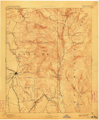
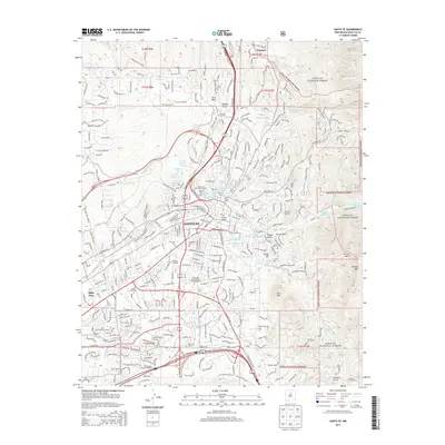
1894 Map of Santa Fe
USGS Topo · Published 1910About this map
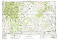
Santa Fe serves as the hub of this high-altitude landscape surveyed in the late 1880s, where the Sangre de Cristo foothills met the growing territorial infrastructure of New Mexico. The map illustrates the town’s military and transportation roots, showing Old Fort Marcy overlooking the streets and the Santa Fe Southern R. R. entering from the west. Beyond the city, the terrain is defined by Spanish land-use patterns and indigenous heritage, including Tesuque Pueblo and the religious site of Santuario to the north.
Find a feature on this map
63 named features on this map. Tap any name to fly to it.
Don’t see what you’re looking for? This feature index may not catch every label — zoom into the map to look around manually.
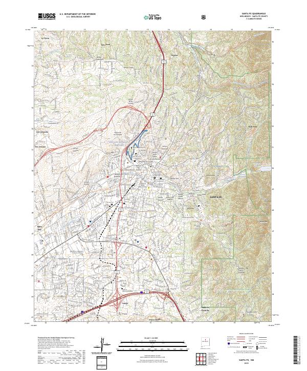
Map Details
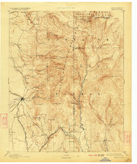
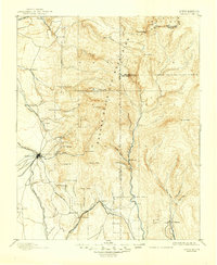
Editions of this 1894 Santa Fe Map
5 editions found


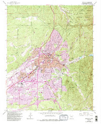
Historical Maps of Santa Fe Through Time
13 maps found

1889 Santa Fe
Santa Fe County, NM
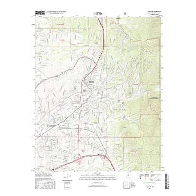
1894 Santa Fe
Santa Fe County, NM
1952 Santa Fe
Santa Fe County, NM
1954 Santa Fe
Santa Fe County, NM

1958 Santa Fe
Santa Fe County, NM
1961 Santa Fe
Santa Fe County, NM

1983 Santa Fe
Santa Fe County, NM
2002 Santa Fe
Santa Fe County, NM
2011 Santa Fe
Santa Fe County, NM
2013 Santa Fe
Santa Fe County, NM
2017 Santa Fe
Santa Fe County, NM
2020 Santa Fe
Santa Fe County, NM
2023 Santa Fe
Santa Fe County, NM