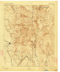
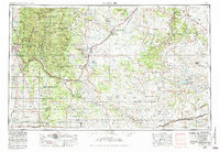
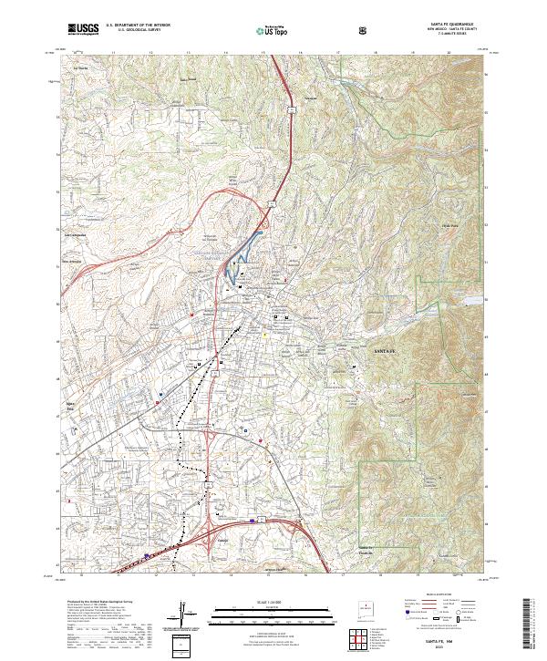
1894 Map of Santa Fe
USGS Topo · Published 1923About this map
Santa Fe serves as the hub of this late-19th-century survey, capturing the territorial capital before New Mexico attained statehood. The map documents a critical transition in transportation, showing the established Atchison Topeka and Santa Fe Railroad alongside the Santa Fe Southern R. R. and even a Proposed line of S.F.S.R.R. branching toward the southwest. From the historic Old Fort Marcy overlooking the town to the scattered northern settlements of Tesuque Pueblo and Nambe, the map illustrates a landscape defined by traditional land use and the emerging rail economy.
Find a feature on this map
67 named features on this map. Tap any name to fly to it.
Don’t see what you’re looking for? This feature index may not catch every label — zoom into the map to look around manually.
Map Details
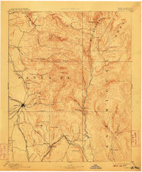
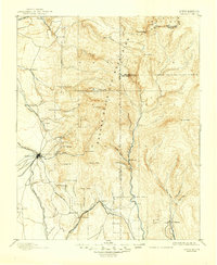
Editions of this 1894 Santa Fe Map
5 editions found


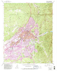
Historical Maps of Santa Fe Through Time
13 maps found

1889 Santa Fe
Santa Fe County, NM
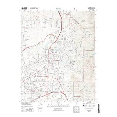
1894 Santa Fe
Santa Fe County, NM
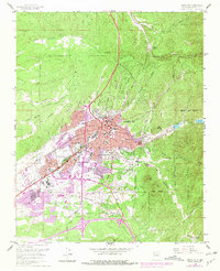
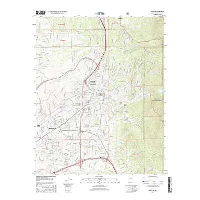
1952 Santa Fe
Santa Fe County, NM
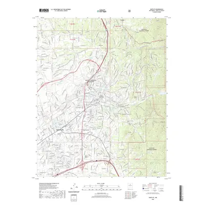
1954 Santa Fe
Santa Fe County, NM

1958 Santa Fe
Santa Fe County, NM
1961 Santa Fe
Santa Fe County, NM

1983 Santa Fe
Santa Fe County, NM
2002 Santa Fe
Santa Fe County, NM
2011 Santa Fe
Santa Fe County, NM
2013 Santa Fe
Santa Fe County, NM
2017 Santa Fe
Santa Fe County, NM
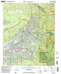
2020 Santa Fe
Santa Fe County, NM
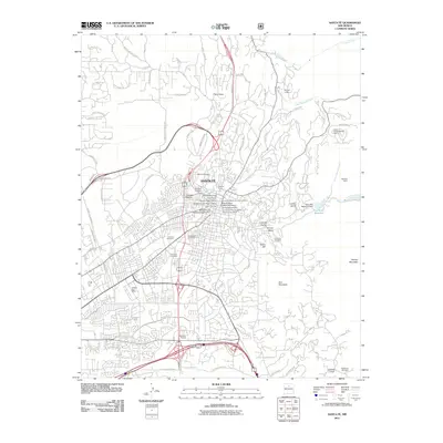
2023 Santa Fe
Santa Fe County, NM