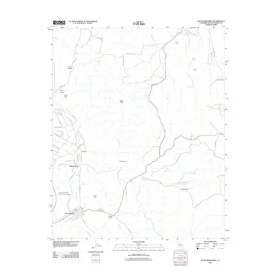
2012 Map of Santa Margarita
USGS Topo · Published 2012About this map
Santa Margarita serves as the central hub of this landscape, situated near the headwaters of the Salinas River and the Santa Margarita Creek. The area’s deep history is anchored by the Asistencia de Santa Margarita, part of the historic Santa Margarita Ranch, reflecting the region’s long-standing agricultural and ranching heritage. The map details a transition from the structured residential grid of the town out into the specialized developments of Garden Farms and the more remote Happy Valley Ranch.
Find a feature on this map
58 named features on this map. Tap any name to fly to it.
Don’t see what you’re looking for? This feature index may not catch every label — zoom into the map to look around manually.
Map Details
Editions of this 2012 Santa Margarita Map
This is the sole edition of this map. No revisions or reprints were ever made.
Other maps of this area

1897 · San Luis Obispo
USGS Topo · 1:62,500

1900 · San Luis
USGS Topo · 1:125,000

1914 · Cholame
USGS Topo · 1:125,000

1915 · Cholame
USGS Topo · 1:125,000

1917 · Cholame
USGS Topo · 1:125,000

1919 · Paso Robles
USGS Topo · 1:62,500

1922 · Pozo
USGS Topo · 1:62,500

1942 · San Luis Obispo
USGS Topo · 1:62,500

1943 · Paso Robles
USGS Topo · 1:62,500

1943 · Shedd Canyon
USGS Topo · 1:31,680