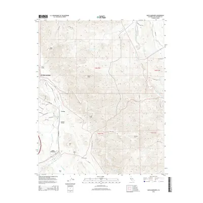
2015 Map of Santa Margarita
USGS Topo · Published 2015About this map
The Salinas River carves a path through this Central Coast landscape, defining the corridor between the Santa Lucia and La Panza ranges. The settlement of Santa Margarita stands as a focal point in the southern portion of the map, situated near the Santa Margarita Cem and the distinctive geological rise of Chalk Hill. To the north, the residential patterns of Garden Farms and Cushing appear along the historic El Camino Real, while the larger footprint of Atascadero emerges at the northwestern edge.
Find a feature on this map
56 named features on this map. Tap any name to fly to it.
Don’t see what you’re looking for? This feature index may not catch every label — zoom into the map to look around manually.
Map Details
Editions of this 2015 Santa Margarita Map
This is the sole edition of this map. No revisions or reprints were ever made.
Other maps of this area

1897 · San Luis Obispo
USGS Topo · 1:62,500

1900 · San Luis
USGS Topo · 1:125,000

1914 · Cholame
USGS Topo · 1:125,000

1915 · Cholame
USGS Topo · 1:125,000

1917 · Cholame
USGS Topo · 1:125,000

1919 · Paso Robles
USGS Topo · 1:62,500

1922 · Pozo
USGS Topo · 1:62,500

1942 · San Luis Obispo
USGS Topo · 1:62,500

1943 · Paso Robles
USGS Topo · 1:62,500

1943 · Shedd Canyon
USGS Topo · 1:31,680