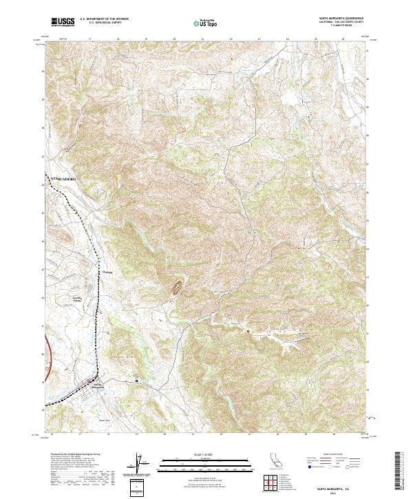
2021 Map of Santa Margarita
USGS Topo · Published 2021About this map
Santa Margarita and the community of Garden Farms occupy a landscape where the coastal ranges meet the headwaters of the Salinas River. This 2021 survey illustrates the modern intersection of historic ranching lands and critical infrastructure, most notably the path of the Governor Edmund G Brown Coastal Br California Aqueduct as it traverses the terrain near Chalk Hill. The map detail traces the transition from the relatively flat Miller Flat to the higher elevations of Granite Ridge and Calf Canyon. Local history and genealogy interests are served by the inclusion of the Santa Margarita Cem and the small settlement at Cushing, alongside specialized landmarks like the Hart Ranch Airport and various branches of Middle Branch Huerhuero Creek.
Find a feature on this map
84 named features on this map. Tap any name to fly to it.
Don’t see what you’re looking for? This feature index may not catch every label — zoom into the map to look around manually.
Map Details
Editions of this 2021 Santa Margarita Map
This is the sole edition of this map. No revisions or reprints were ever made.
Other maps of this area

1897 · San Luis Obispo
USGS Topo · 1:62,500

1900 · San Luis
USGS Topo · 1:125,000

1914 · Cholame
USGS Topo · 1:125,000

1915 · Cholame
USGS Topo · 1:125,000

1917 · Cholame
USGS Topo · 1:125,000

1919 · Paso Robles
USGS Topo · 1:62,500

1922 · Pozo
USGS Topo · 1:62,500

1942 · San Luis Obispo
USGS Topo · 1:62,500

1943 · Paso Robles
USGS Topo · 1:62,500

1943 · Shedd Canyon
USGS Topo · 1:31,680