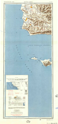
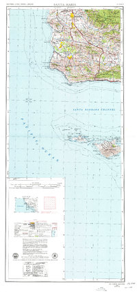
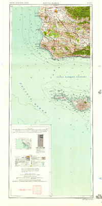
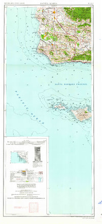
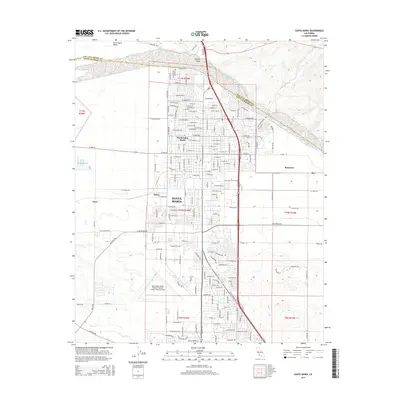
1957 Map of Santa Maria
USGS Topo · Published 1957About this map
The Camp Cooke Military Reservation dominates the coastal terrace of northern Santa Barbara County on this mid-century survey. This era shows the region's transition between agricultural roots and industrial expansion, with the John Manville Plant and extensive Oil Fields near Orcutt and Bicknell appearing alongside established company towns like Betteravia. The inland valleys are anchored by Santa Maria and the Danish-influenced settlement of Solvang in the Santa Ynez Valley.
Find a feature on this map
74 named features on this map. Tap any name to fly to it.
Don’t see what you’re looking for? This feature index may not catch every label — zoom into the map to look around manually.
Map Details
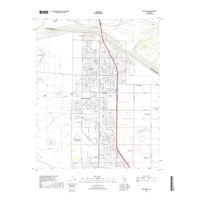
Editions of this 1957 Santa Maria Map
This is the sole edition of this map. No revisions or reprints were ever made.
Historical Maps of Santa Maria Through Time
15 maps found
1942 Santa Maria
Santa Barbara County, CA
1947 Santa Maria
Santa Barbara County, CA
1948 Santa Maria
Santa Barbara County, CA
1956 Santa Maria
Santa Barbara County, CA
1957 Santa Maria
Santa Barbara County, CA
1958 Santa Maria
Santa Barbara County, CA
1959 Santa Maria
Santa Barbara County, CA
1959 Santa Maria
Santa Barbara County, CA
1962 Santa Maria
Santa Barbara County, CA
1982 Santa Maria
Santa Barbara County, CA
1989 Santa Maria
Santa Barbara County, CA
2012 Santa Maria
Santa Barbara County, CA
2015 Santa Maria
Santa Barbara County, CA
2018 Santa Maria
Santa Barbara County, CA
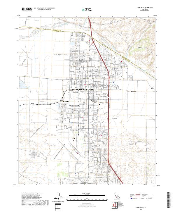
2021 Santa Maria
Santa Barbara County, CA